
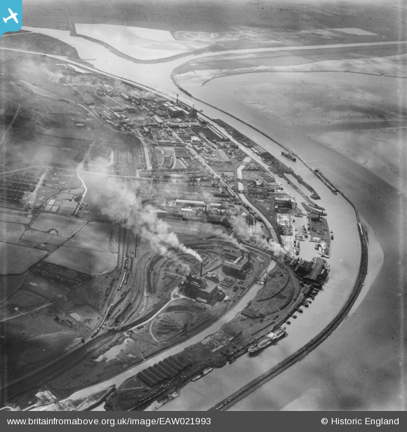
EAW021993 ENGLAND (1949). Weston Point, Runcorn, 1949
© Hawlfraint cyfranwyr OpenStreetMap a thrwyddedwyd gan yr OpenStreetMap Foundation. 2026. Trwyddedir y gartograffeg fel CC BY-SA.
Delweddau cyfagos (3)
EAW021993

EAW023477

EAW023478

Manylion
| Pennawd | [EAW021993] Weston Point, Runcorn, 1949 |
| Cyfeirnod | EAW021993 |
| Dyddiad | 9-April-1949 |
| Dolen | |
| Enw lle | RUNCORN |
| Plwyf | |
| Ardal | |
| Gwlad | ENGLAND |
| Dwyreiniad / Gogleddiad | 349752, 381571 |
| Hydred / Lledred | -2.75455279237, 53.328397028268 |
| Cyfeirnod Grid Cenedlaethol | SJ498816 |
Pinnau

Bottom Yard |
Sunday 15th of June 2025 12:16:56 PM | |
|
Bottom Yard |
Sunday 15th of June 2025 12:14:48 PM |