
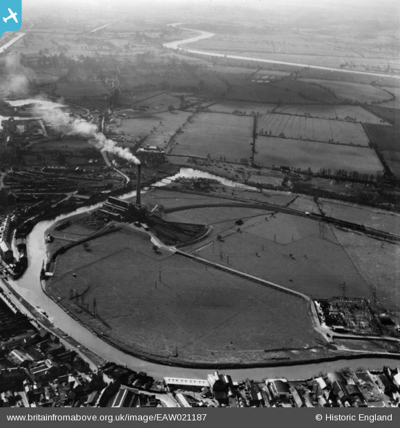
EAW021187 ENGLAND (1949). Castle Meads Power Station and environs, Gloucester, 1949. This image has been produced from a print.
© Hawlfraint cyfranwyr OpenStreetMap a thrwyddedwyd gan yr OpenStreetMap Foundation. 2026. Trwyddedir y gartograffeg fel CC BY-SA.
Delweddau cyfagos (11)
EAW021187

EPW024157

EAW021184

EAW021189

EAW021181

EAW018728

EAW021183

EPW037837

EAW021185

EAW012210

EAW021186

Manylion
| Pennawd | [EAW021187] Castle Meads Power Station and environs, Gloucester, 1949. This image has been produced from a print. |
| Cyfeirnod | EAW021187 |
| Dyddiad | 2-March-1949 |
| Dolen | |
| Enw lle | GLOUCESTER |
| Plwyf | |
| Ardal | |
| Gwlad | ENGLAND |
| Dwyreiniad / Gogleddiad | 382310, 218377 |
| Hydred / Lledred | -2.256924698827, 51.863252670766 |
| Cyfeirnod Grid Cenedlaethol | SO823184 |
Pinnau
 |

Class31 |
Wednesday 3rd of June 2015 08:32:52 PM |