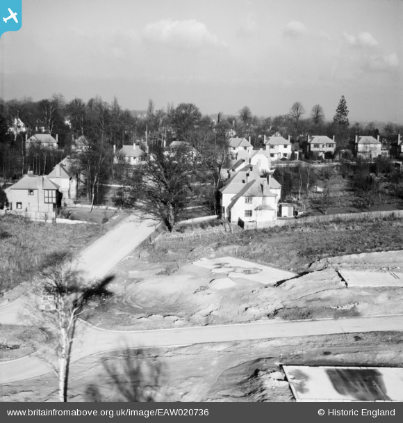
EAW020736 ENGLAND (1948). Wimborne Avenue and construction of 1 and 3 Ravensbury Road, St Paul's Cray, from the south, 1948
    © Hawlfraint cyfranwyr OpenStreetMap a thrwyddedwyd gan yr OpenStreetMap Foundation. 2025. Trwyddedir y gartograffeg fel CC BY-SA.
  
Delweddau cyfagos (10)
Manylion
| Pennawd | [EAW020736] Wimborne Avenue and construction of 1 and 3 Ravensbury Road, St Paul's Cray, from the south, 1948 | 
| Cyfeirnod | EAW020736 | 
| Dyddiad | 24-December-1948 | 
| Dolen | |
| Enw lle | ST PAUL'S CRAY | 
| Plwyf | |
| Ardal | |
| Gwlad | ENGLAND | 
| Dwyreiniad / Gogleddiad | 545868, 168519 | 
| Hydred / Lledred | 0.09701431217245, 51.396432448846 | 
| Cyfeirnod Grid Cenedlaethol | TQ459685 | 
Pinnau
Byddwch y cyntaf i ychwanegu sylw at y ddelwedd hon!
 
             
  ![[EAW020736] Wimborne Avenue and construction of 1 and 3 Ravensbury Road, St Paul's Cray, from the south, 1948](http://britainfromabove.org.uk/sites/all/libraries/aerofilms-images/public/100x100/EAW/020/EAW020736.jpg) 
  
                                          ![[EAW026815] Housing estate under construction at St Paul's Cray, Bromley, 1949. This image has been produced from a print.](http://britainfromabove.org.uk/sites/all/libraries/aerofilms-images/public/100x100/EAW/026/EAW026815.jpg) 
 ![[EAW042061] Housing estates at Poverest, Orpington, 1952](http://britainfromabove.org.uk/sites/all/libraries/aerofilms-images/public/100x100/EAW/042/EAW042061.jpg) 
 ![[EAW020737] Construction of housing along Ravensbury Road, St Paul's Cray, from the south, 1948](http://britainfromabove.org.uk/sites/all/libraries/aerofilms-images/public/100x100/EAW/020/EAW020737.jpg) 
 ![[EAW042062] Housing estates at Poverest, Orpington, 1952](http://britainfromabove.org.uk/sites/all/libraries/aerofilms-images/public/100x100/EAW/042/EAW042062.jpg) 
 ![[EAW020730] New housing development around Ravensbury Road, St Paul's Cray, 1948](http://britainfromabove.org.uk/sites/all/libraries/aerofilms-images/public/100x100/EAW/020/EAW020730.jpg) 
 ![[EAW020739] Construction of 34-40 Ravensbury Road, St Paul's Cray, from the south, 1948](http://britainfromabove.org.uk/sites/all/libraries/aerofilms-images/public/100x100/EAW/020/EAW020739.jpg) 
 ![[EAW020720] New housing development around Tillingbourne Green and Ravensbury Road, Poverest, 1948](http://britainfromabove.org.uk/sites/all/libraries/aerofilms-images/public/100x100/EAW/020/EAW020720.jpg) 
 ![[EAW042064] Housing estates at Poverest, Orpington, 1952](http://britainfromabove.org.uk/sites/all/libraries/aerofilms-images/public/100x100/EAW/042/EAW042064.jpg) 
 ![[EAW020719] New housing development around Tillingbourne Green and Ravensbury Road, Poverest, 1948](http://britainfromabove.org.uk/sites/all/libraries/aerofilms-images/public/100x100/EAW/020/EAW020719.jpg)