
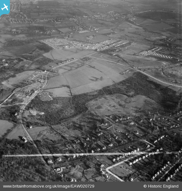
EAW020729 ENGLAND (1948). Hoblingwell Wood and Collin's Hill, St Paul's Cray, 1948. This image was marked by Aerofilms Ltd for photo editing.
© Hawlfraint cyfranwyr OpenStreetMap a thrwyddedwyd gan yr OpenStreetMap Foundation. 2026. Trwyddedir y gartograffeg fel CC BY-SA.
Delweddau cyfagos (3)
EAW020729

EAW026817

EAW026818

Manylion
| Pennawd | [EAW020729] Hoblingwell Wood and Collin's Hill, St Paul's Cray, 1948. This image was marked by Aerofilms Ltd for photo editing. |
| Cyfeirnod | EAW020729 |
| Dyddiad | 24-December-1948 |
| Dolen | |
| Enw lle | ST PAUL'S CRAY |
| Plwyf | |
| Ardal | |
| Gwlad | ENGLAND |
| Dwyreiniad / Gogleddiad | 545953, 169317 |
| Hydred / Lledred | 0.098563697451846, 51.403581910801 |
| Cyfeirnod Grid Cenedlaethol | TQ460693 |
Pinnau

Mike Floate |
Wednesday 31st of December 2014 02:12:22 PM | |
|
johno |
Saturday 6th of December 2014 04:46:40 PM | |
|
Gone2Kent |
Sunday 8th of June 2014 09:30:19 AM | |
|
Gone2Kent |
Thursday 26th of December 2013 09:24:42 PM |
