
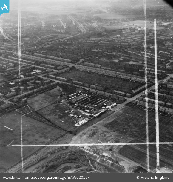
EAW020194 ENGLAND (1948). The W. J. Barton Ltd Bakery on Kemp Road and environs, Dagenham, 1948. This image has been produced from a print marked by Aerofilms Ltd for photo editing.
© Hawlfraint cyfranwyr OpenStreetMap a thrwyddedwyd gan yr OpenStreetMap Foundation. 2026. Trwyddedir y gartograffeg fel CC BY-SA.
Delweddau cyfagos (13)
EAW020194

EAW020187

EAW020192

EAW020185

EAW020193

EAW020188

EAW020189

EAW020191

EAW020196

EAW020195

EPW006555

EAW020190

EAW020186

Manylion
| Pennawd | [EAW020194] The W. J. Barton Ltd Bakery on Kemp Road and environs, Dagenham, 1948. This image has been produced from a print marked by Aerofilms Ltd for photo editing. |
| Cyfeirnod | EAW020194 |
| Dyddiad | 28-October-1948 |
| Dolen | |
| Enw lle | DAGENHAM |
| Plwyf | |
| Ardal | |
| Gwlad | ENGLAND |
| Dwyreiniad / Gogleddiad | 547861, 187093 |
| Hydred / Lledred | 0.13342153782241, 51.562828395949 |
| Cyfeirnod Grid Cenedlaethol | TQ479871 |
Pinnau

GRP47 |
Tuesday 15th of December 2015 03:01:56 PM | |
|
GRP47 |
Tuesday 15th of December 2015 02:59:33 PM | |
|
GRP47 |
Tuesday 15th of December 2015 02:57:12 PM | |
|
GRP47 |
Tuesday 15th of December 2015 02:55:58 PM | |
|
GRP47 |
Tuesday 15th of December 2015 02:55:13 PM |