
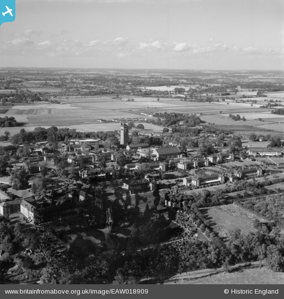
EAW018909 ENGLAND (1948). Shenley Hospital, Shenley, from the south, 1948. This image has been produced from a damaged negative.
© Hawlfraint cyfranwyr OpenStreetMap a thrwyddedwyd gan yr OpenStreetMap Foundation. 2026. Trwyddedir y gartograffeg fel CC BY-SA.
Delweddau cyfagos (40)
EAW018909

EPW044109

EPW044111

EPW044107

EPW043674

EPW043672

EPW044101

EPW044104

EPW043669

EPW043665

EAW018910

EPW043666

EPW044105

EPW044102

EAW019111

EPW043670

EAW019113

EPW043668

EPW043664

EAW018900

EPW044108

EPW043673

EAW018904

EAW019112

EAW018908
, Shenley, from the south-east, 1948. This image has been produced from a damaged negative.")
EAW019110

EPW043667

EPW043671

EPW043677

EAW019115

EPW043680

EPW015745

EAW018907

EAW018905

EPW044103

EPW049672

EAW018901

EPW043675

EPW044110

EPW043679

Manylion
| Pennawd | [EAW018909] Shenley Hospital, Shenley, from the south, 1948. This image has been produced from a damaged negative. |
| Cyfeirnod | EAW018909 |
| Dyddiad | 28-September-1948 |
| Dolen | |
| Enw lle | SHENLEY |
| Plwyf | SHENLEY |
| Ardal | |
| Gwlad | ENGLAND |
| Dwyreiniad / Gogleddiad | 518216, 200686 |
| Hydred / Lledred | -0.28949312342022, 51.69200157221 |
| Cyfeirnod Grid Cenedlaethol | TL182007 |
Pinnau

Matt Aldred edob.mattaldred.com |
Sunday 19th of September 2021 05:29:14 PM | |
|
Matt Aldred edob.mattaldred.com |
Sunday 19th of September 2021 05:29:07 PM | |
|
Matt Aldred edob.mattaldred.com |
Sunday 19th of September 2021 05:29:01 PM |