
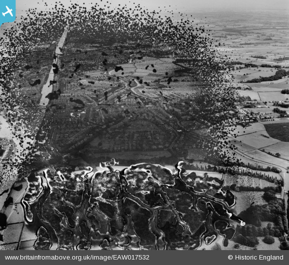
EAW017532 ENGLAND (1948). The residential area between the Manchester Ship Canal and the Bridgewater Canal, Stockton Heath, 1948. This image has been produced from a damaged negative.
© Hawlfraint cyfranwyr OpenStreetMap a thrwyddedwyd gan yr OpenStreetMap Foundation. 2026. Trwyddedir y gartograffeg fel CC BY-SA.
Delweddau cyfagos (3)
EAW017532

EAW017537

EAW017527

Manylion
| Pennawd | [EAW017532] The residential area between the Manchester Ship Canal and the Bridgewater Canal, Stockton Heath, 1948. This image has been produced from a damaged negative. |
| Cyfeirnod | EAW017532 |
| Dyddiad | 22-July-1948 |
| Dolen | |
| Enw lle | STOCKTON HEATH |
| Plwyf | STOCKTON HEATH |
| Ardal | |
| Gwlad | ENGLAND |
| Dwyreiniad / Gogleddiad | 360995, 385758 |
| Hydred / Lledred | -2.5862486451817, 53.366983048263 |
| Cyfeirnod Grid Cenedlaethol | SJ610858 |
Pinnau

Bottom Yard |
Wednesday 28th of September 2022 04:26:41 PM |