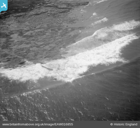
EAW016855 ENGLAND (1948). Outfall off Rocky Island, Seaton Sluice, 1948
    © Hawlfraint cyfranwyr OpenStreetMap a thrwyddedwyd gan yr OpenStreetMap Foundation. 2025. Trwyddedir y gartograffeg fel CC BY-SA.
  
Delweddau cyfagos (7)
Manylion
| Pennawd | [EAW016855] Outfall off Rocky Island, Seaton Sluice, 1948 | 
| Cyfeirnod | EAW016855 | 
| Dyddiad | 24-July-1948 | 
| Dolen | |
| Enw lle | SEATON SLUICE | 
| Plwyf | SEATON VALLEY | 
| Ardal | |
| Gwlad | ENGLAND | 
| Dwyreiniad / Gogleddiad | 433962, 577016 | 
| Hydred / Lledred | -1.4678852419811, 55.086358146019 | 
| Cyfeirnod Grid Cenedlaethol | NZ340770 | 
Pinnau
Byddwch y cyntaf i ychwanegu sylw at y ddelwedd hon!
 
             
  ![[EAW016855] Outfall off Rocky Island, Seaton Sluice, 1948](http://britainfromabove.org.uk/sites/all/libraries/aerofilms-images/public/100x100/EAW/016/EAW016855.jpg) 
  
                                          ![[EAW016877] Seaton Sluice Harbour, Seaton Sluice, 1948](http://britainfromabove.org.uk/sites/all/libraries/aerofilms-images/public/100x100/EAW/016/EAW016877.jpg) 
 ![[EAW016882] Rocky Island, Seaton Sluice, 1948. This image has been produced from a print.](http://britainfromabove.org.uk/sites/all/libraries/aerofilms-images/public/100x100/EAW/016/EAW016882.jpg) 
 ![[EAW016881] Seaton Sluice Harbour, Seaton Sluice, 1948](http://britainfromabove.org.uk/sites/all/libraries/aerofilms-images/public/100x100/EAW/016/EAW016881.jpg) 
 ![[EAW016879] Seaton Sluice Harbour, Seaton Sluice, 1948](http://britainfromabove.org.uk/sites/all/libraries/aerofilms-images/public/100x100/EAW/016/EAW016879.jpg) 
 ![[EAW016878] Seaton Sluice Harbour, Seaton Sluice, 1948](http://britainfromabove.org.uk/sites/all/libraries/aerofilms-images/public/100x100/EAW/016/EAW016878.jpg) 
 ![[EAW016880] Seaton Sluice Harbour and St Paul's Church, Seaton Sluice, 1948](http://britainfromabove.org.uk/sites/all/libraries/aerofilms-images/public/100x100/EAW/016/EAW016880.jpg)