
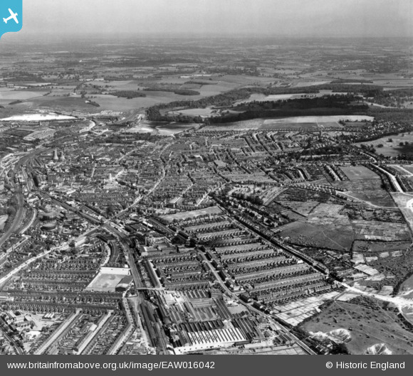
EAW016042 ENGLAND (1948). The town, Luton, from the north-west, 1948. This image has been produced from a print.
© Hawlfraint cyfranwyr OpenStreetMap a thrwyddedwyd gan yr OpenStreetMap Foundation. 2026. Trwyddedir y gartograffeg fel CC BY-SA.
Delweddau cyfagos (16)
EAW016042

EPW019221

EPW005365

EPW019218

EPW037377

EPW037379

EPW005366

EPW061315

EPW005364

EPW037378

EPW026488

EPW019307

EPW037362

EPW037364

EPW026484

EPW037363

Manylion
| Pennawd | [EAW016042] The town, Luton, from the north-west, 1948. This image has been produced from a print. |
| Cyfeirnod | EAW016042 |
| Dyddiad | 19-May-1948 |
| Dolen | |
| Enw lle | LUTON |
| Plwyf | |
| Ardal | |
| Gwlad | ENGLAND |
| Dwyreiniad / Gogleddiad | 508019, 221548 |
| Hydred / Lledred | -0.43047860374478, 51.88157905636 |
| Cyfeirnod Grid Cenedlaethol | TL080215 |
Pinnau

Class31 |
Wednesday 7th of January 2015 05:33:19 PM | |

brian |
Sunday 19th of October 2014 02:24:20 AM | |
|
brian |
Sunday 19th of October 2014 02:23:44 AM | |
|
brian |
Sunday 19th of October 2014 02:21:45 AM | |
|
brian |
Sunday 19th of October 2014 02:20:18 AM | |
|
brian |
Sunday 19th of October 2014 02:17:33 AM | |
|
brian |
Sunday 19th of October 2014 02:13:13 AM | |
|
brian |
Sunday 19th of October 2014 02:12:14 AM | |
|
brian |
Sunday 19th of October 2014 02:11:29 AM | |
|
brian |
Sunday 19th of October 2014 02:10:27 AM |
