
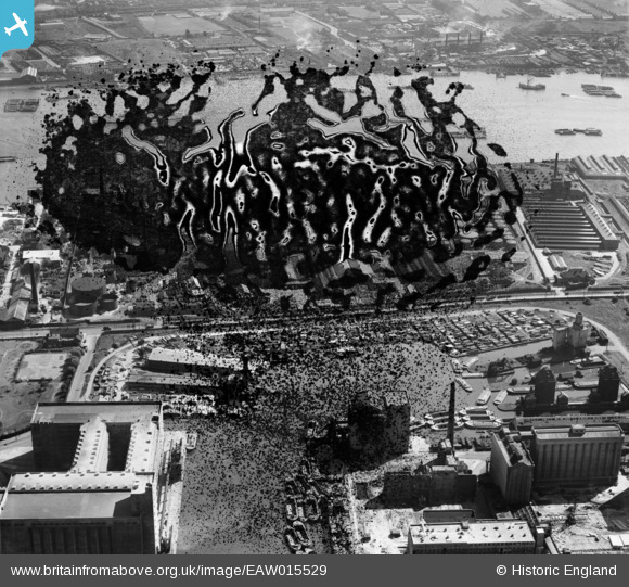
EAW015529 ENGLAND (1948). Victoria Graving Dock (Pontoon Dock) and the River Thames, Silvertown, 1948. This image has been produced from a damaged negative.
© Hawlfraint cyfranwyr OpenStreetMap a thrwyddedwyd gan yr OpenStreetMap Foundation. 2026. Trwyddedir y gartograffeg fel CC BY-SA.
Delweddau cyfagos (18)
EAW015529
 and the River Thames, Silvertown, 1948. This image has been produced from a damaged negative.")
EAW015523
 and the River Thames, Silvertown, 1948. This image has been produced from a damaged negative.")
EAW015528
 and the River Thames, Silvertown, 1948. This image has been produced from a damaged negative.")
EAW015532
 and environs, Silvertown, 1948. This image has been produced from a damaged negative.")
EAW015530
 and environs, Silvertown, 1948. This image has been produced from a damaged negative.")
EAW015531
 and environs, Silvertown, 1948. This image has been produced from a damaged negative.")
EAW015527
 and the River Thames, Silvertown, 1948. This image has been produced from a damaged negative.")
EAW035966

EAW015522
, Silvertown, 1948. This image has been produced from a damaged negative.")
EAW015524
, Silvertown, 1948. This image has been produced from a damaged negative.")
EPW024235

EAW015526
, Silvertown, 1948. This image has been produced from a damaged negative.")
EAW015525
, Silvertown, 1948. This image has been produced from a damaged negative.")
EAW035764

EPW009694

EPW009695

EPW009693

EPW009698

Manylion
| Pennawd | [EAW015529] Victoria Graving Dock (Pontoon Dock) and the River Thames, Silvertown, 1948. This image has been produced from a damaged negative. |
| Cyfeirnod | EAW015529 |
| Dyddiad | 14-May-1948 |
| Dolen | |
| Enw lle | SILVERTOWN |
| Plwyf | |
| Ardal | |
| Gwlad | ENGLAND |
| Dwyreiniad / Gogleddiad | 541160, 180068 |
| Hydred / Lledred | 0.033986359308018, 51.501413621182 |
| Cyfeirnod Grid Cenedlaethol | TQ412801 |
Pinnau

Class31 |
Saturday 28th of February 2015 08:54:49 AM |