
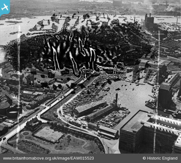
EAW015523 ENGLAND (1948). Victoria Graving Dock (Pontoon Dock) and the River Thames, Silvertown, 1948. This image has been produced from a damaged negative.
© Hawlfraint cyfranwyr OpenStreetMap a thrwyddedwyd gan yr OpenStreetMap Foundation. 2026. Trwyddedir y gartograffeg fel CC BY-SA.
Delweddau cyfagos (24)
EAW015523
 and the River Thames, Silvertown, 1948. This image has been produced from a damaged negative.")
EAW015528
 and the River Thames, Silvertown, 1948. This image has been produced from a damaged negative.")
EAW015529
 and the River Thames, Silvertown, 1948. This image has been produced from a damaged negative.")
EAW015532
 and environs, Silvertown, 1948. This image has been produced from a damaged negative.")
EAW015531
 and environs, Silvertown, 1948. This image has been produced from a damaged negative.")
EAW015527
 and the River Thames, Silvertown, 1948. This image has been produced from a damaged negative.")
EAW035966

EAW015530
 and environs, Silvertown, 1948. This image has been produced from a damaged negative.")
EAW015522
, Silvertown, 1948. This image has been produced from a damaged negative.")
EAW015524
, Silvertown, 1948. This image has been produced from a damaged negative.")
EAW015526
, Silvertown, 1948. This image has been produced from a damaged negative.")
EAW015525
, Silvertown, 1948. This image has been produced from a damaged negative.")
EAW035764

EAW035961

EAW035968

EAW035962

EAW035761

EAW035964

EAW035965

EAW035762

EPW053023

EPW009694

EPW053025

EAW035767

Manylion
| Pennawd | [EAW015523] Victoria Graving Dock (Pontoon Dock) and the River Thames, Silvertown, 1948. This image has been produced from a damaged negative. |
| Cyfeirnod | EAW015523 |
| Dyddiad | 14-May-1948 |
| Dolen | |
| Enw lle | SILVERTOWN |
| Plwyf | |
| Ardal | |
| Gwlad | ENGLAND |
| Dwyreiniad / Gogleddiad | 541139, 180125 |
| Hydred / Lledred | 0.033706783295756, 51.501931115874 |
| Cyfeirnod Grid Cenedlaethol | TQ411801 |
Pinnau

Class31 |
Saturday 28th of February 2015 08:56:57 AM |