
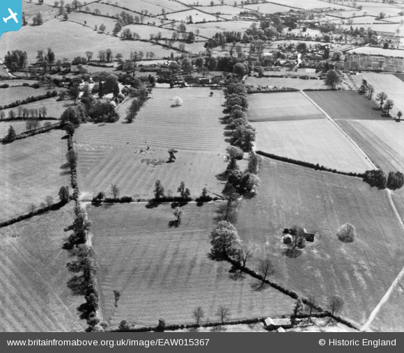
EAW015367 ENGLAND (1948). Countryside to the west of Wardington around the site of the Battle of Cropredy Bridge, Wardington, 1948. This image has been produced from a print.
© Hawlfraint cyfranwyr OpenStreetMap a thrwyddedwyd gan yr OpenStreetMap Foundation. 2026. Trwyddedir y gartograffeg fel CC BY-SA.
Delweddau cyfagos (3)
EAW015367

EAW015365

EAW015366

Manylion
| Pennawd | [EAW015367] Countryside to the west of Wardington around the site of the Battle of Cropredy Bridge, Wardington, 1948. This image has been produced from a print. |
| Cyfeirnod | EAW015367 |
| Dyddiad | 6-May-1948 |
| Dolen | |
| Enw lle | WARDINGTON |
| Plwyf | WARDINGTON |
| Ardal | |
| Gwlad | ENGLAND |
| Dwyreiniad / Gogleddiad | 448643, 246856 |
| Hydred / Lledred | -1.2895066732566, 52.117468911184 |
| Cyfeirnod Grid Cenedlaethol | SP486469 |
Pinnau
Byddwch y cyntaf i ychwanegu sylw at y ddelwedd hon!