
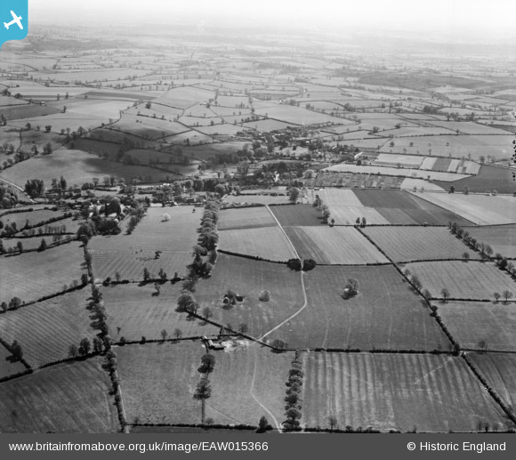
EAW015366 ENGLAND (1948). The village and surrounding countryside, Wardington, from the north-west, 1948
© Hawlfraint cyfranwyr OpenStreetMap a thrwyddedwyd gan yr OpenStreetMap Foundation. 2026. Trwyddedir y gartograffeg fel CC BY-SA.
Delweddau cyfagos (4)
EAW015366

EAW015364

EAW015367

EAW015365

Manylion
| Pennawd | [EAW015366] The village and surrounding countryside, Wardington, from the north-west, 1948 |
| Cyfeirnod | EAW015366 |
| Dyddiad | 6-May-1948 |
| Dolen | |
| Enw lle | WARDINGTON |
| Plwyf | WARDINGTON |
| Ardal | |
| Gwlad | ENGLAND |
| Dwyreiniad / Gogleddiad | 448408, 246833 |
| Hydred / Lledred | -1.2929421376457, 52.117282751338 |
| Cyfeirnod Grid Cenedlaethol | SP484468 |
Pinnau
Byddwch y cyntaf i ychwanegu sylw at y ddelwedd hon!