
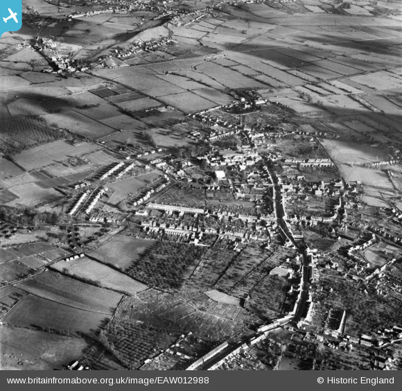
EAW012988 ENGLAND (1948). The town, Street, from the south-west, 1948
© Hawlfraint cyfranwyr OpenStreetMap a thrwyddedwyd gan yr OpenStreetMap Foundation. 2026. Trwyddedir y gartograffeg fel CC BY-SA.
Delweddau cyfagos (3)
EAW012988

EAW013104

EAW012990

Manylion
| Pennawd | [EAW012988] The town, Street, from the south-west, 1948 |
| Cyfeirnod | EAW012988 |
| Dyddiad | 22-January-1948 |
| Dolen | |
| Enw lle | STREET |
| Plwyf | STREET |
| Ardal | |
| Gwlad | ENGLAND |
| Dwyreiniad / Gogleddiad | 347852, 136493 |
| Hydred / Lledred | -2.7452478372817, 51.124815631117 |
| Cyfeirnod Grid Cenedlaethol | ST479365 |


