
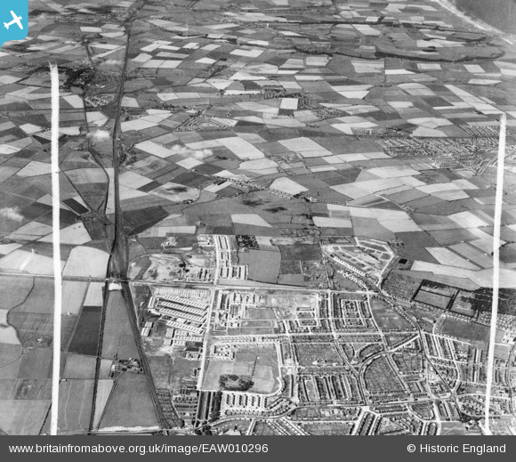
EAW010296 ENGLAND (1947). Development around West Chirton and Billy Mill, West Chirton, from the south, 1947. This image was marked by Aerofilms Ltd for photo editing.
© Hawlfraint cyfranwyr OpenStreetMap a thrwyddedwyd gan yr OpenStreetMap Foundation. 2026. Trwyddedir y gartograffeg fel CC BY-SA.
Delweddau cyfagos (5)
EAW010296

EAW010290

EAW010282

EAW010295

EAW010287

Manylion
| Pennawd | [EAW010296] Development around West Chirton and Billy Mill, West Chirton, from the south, 1947. This image was marked by Aerofilms Ltd for photo editing. |
| Cyfeirnod | EAW010296 |
| Dyddiad | 24-August-1947 |
| Dolen | |
| Enw lle | WEST CHIRTON |
| Plwyf | |
| Ardal | |
| Gwlad | ENGLAND |
| Dwyreiniad / Gogleddiad | 433272, 568749 |
| Hydred / Lledred | -1.4796597660302, 55.012111224491 |
| Cyfeirnod Grid Cenedlaethol | NZ333687 |
Pinnau

reaper |
Monday 22nd of April 2019 08:31:48 PM | |
|
reaper |
Monday 22nd of April 2019 08:30:42 PM | |
|
reaper |
Monday 22nd of April 2019 08:30:01 PM | |
|
reaper |
Monday 22nd of April 2019 08:29:26 PM | |
|
reaper |
Monday 22nd of April 2019 08:28:48 PM | |
|
reaper |
Monday 22nd of April 2019 08:27:48 PM | |
|
reaper |
Monday 22nd of April 2019 08:27:19 PM | |
|
reaper |
Monday 22nd of April 2019 08:26:46 PM | |
|
reaper |
Monday 22nd of April 2019 08:26:12 PM | |
|
reaper |
Monday 22nd of April 2019 08:25:30 PM |