
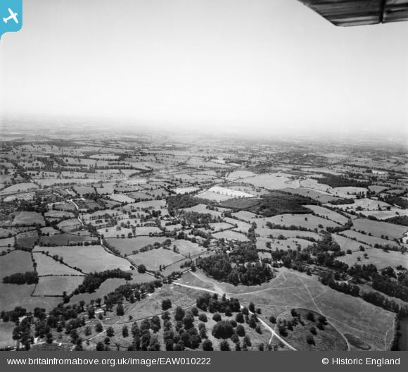
EAW010222 ENGLAND (1947). Countryside at Noak Hill and Romford from Weald Park, South Weald, from the north-east, 1947
© Hawlfraint cyfranwyr OpenStreetMap a thrwyddedwyd gan yr OpenStreetMap Foundation. 2026. Trwyddedir y gartograffeg fel CC BY-SA.
Delweddau cyfagos (2)
EAW010222

EAW010216

Manylion
| Pennawd | [EAW010222] Countryside at Noak Hill and Romford from Weald Park, South Weald, from the north-east, 1947 |
| Cyfeirnod | EAW010222 |
| Dyddiad | 12-August-1947 |
| Dolen | |
| Enw lle | SOUTH WEALD |
| Plwyf | |
| Ardal | |
| Gwlad | ENGLAND |
| Dwyreiniad / Gogleddiad | 557270, 194004 |
| Hydred / Lledred | 0.2721662472177, 51.62238029276 |
| Cyfeirnod Grid Cenedlaethol | TQ573940 |
Pinnau

hillman34 |
Tuesday 15th of July 2014 10:56:33 PM | |
|
hillman34 |
Tuesday 15th of July 2014 10:36:25 PM | |
|
hillman34 |
Tuesday 15th of July 2014 10:33:48 PM | |
|
hillman34 |
Tuesday 15th of July 2014 10:28:49 PM | |

James Chandler |
Monday 24th of February 2014 06:23:55 PM |