
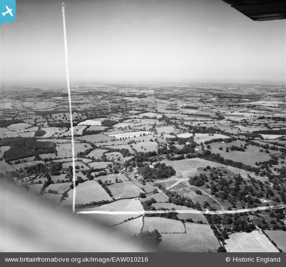
EAW010216 ENGLAND (1947). Weald Park, South Weald, from the east, 1947. This image was marked by Aerofilms Ltd for photo editing.
© Hawlfraint cyfranwyr OpenStreetMap a thrwyddedwyd gan yr OpenStreetMap Foundation. 2026. Trwyddedir y gartograffeg fel CC BY-SA.
Delweddau cyfagos (3)
EAW010216

EAW010228

EAW010222

Manylion
| Pennawd | [EAW010216] Weald Park, South Weald, from the east, 1947. This image was marked by Aerofilms Ltd for photo editing. |
| Cyfeirnod | EAW010216 |
| Dyddiad | 12-August-1947 |
| Dolen | |
| Enw lle | SOUTH WEALD |
| Plwyf | |
| Ardal | |
| Gwlad | ENGLAND |
| Dwyreiniad / Gogleddiad | 557494, 193917 |
| Hydred / Lledred | 0.27536063395128, 51.621535929563 |
| Cyfeirnod Grid Cenedlaethol | TQ575939 |
Pinnau

James Chandler |
Monday 24th of February 2014 06:26:18 PM |