
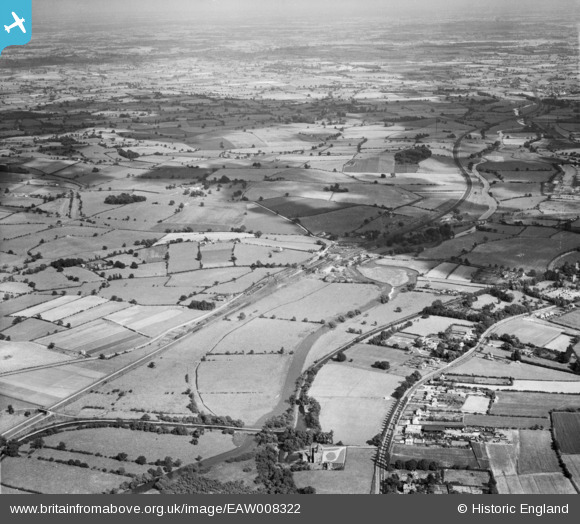
EAW008322 ENGLAND (1947). The River Trent and the Trent and Mersey Canal, Rugeley, from the north-west, 1947
© Hawlfraint cyfranwyr OpenStreetMap a thrwyddedwyd gan yr OpenStreetMap Foundation. 2026. Trwyddedir y gartograffeg fel CC BY-SA.
Delweddau cyfagos (3)
EAW008322

EAW008327

EAW008328

Manylion
| Pennawd | [EAW008322] The River Trent and the Trent and Mersey Canal, Rugeley, from the north-west, 1947 |
| Cyfeirnod | EAW008322 |
| Dyddiad | 20-July-1947 |
| Dolen | |
| Enw lle | RUGELEY |
| Plwyf | RUGELEY |
| Ardal | |
| Gwlad | ENGLAND |
| Dwyreiniad / Gogleddiad | 404245, 319348 |
| Hydred / Lledred | -1.9370718053721, 52.771372597089 |
| Cyfeirnod Grid Cenedlaethol | SK042193 |
Pinnau
Byddwch y cyntaf i ychwanegu sylw at y ddelwedd hon!