
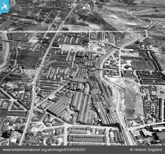
EAW006267 ENGLAND (1947). Brown Bayley Steel Works and environs, Attercliffe, 1947. This image was marked by Aerofilms Ltd for photo editing.
© Hawlfraint cyfranwyr OpenStreetMap a thrwyddedwyd gan yr OpenStreetMap Foundation. 2026. Trwyddedir y gartograffeg fel CC BY-SA.
Delweddau cyfagos (14)
EAW006267

EAW005725

EAW006266

EAW005731

EAW005723

EAW006268

EAW005727

EAW005732

EAW005726

EAW005730

EAW005728

EAW006269

EAW005729

EAW005724

Manylion
| Pennawd | [EAW006267] Brown Bayley Steel Works and environs, Attercliffe, 1947. This image was marked by Aerofilms Ltd for photo editing. |
| Cyfeirnod | EAW006267 |
| Dyddiad | 25-May-1947 |
| Dolen | |
| Enw lle | ATTERCLIFFE |
| Plwyf | |
| Ardal | |
| Gwlad | ENGLAND |
| Dwyreiniad / Gogleddiad | 438462, 389139 |
| Hydred / Lledred | -1.4215004268219, 53.397415270258 |
| Cyfeirnod Grid Cenedlaethol | SK385891 |
Pinnau

Cyberbia |
Sunday 15th of September 2019 10:39:14 PM | |
|
Cyberbia |
Sunday 15th of September 2019 10:38:09 PM | |
|
attercliffe |
Sunday 3rd of January 2016 04:16:48 PM | |

Class31 |
Tuesday 21st of July 2015 04:45:35 PM | |
|
Class31 |
Tuesday 21st of July 2015 04:43:41 PM | |
|
Class31 |
Tuesday 21st of July 2015 04:42:30 PM | |
|
Class31 |
Tuesday 21st of July 2015 04:40:38 PM |