
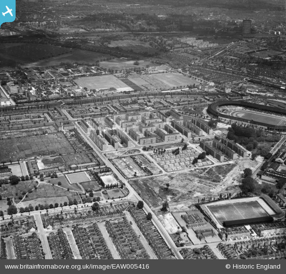
EAW005416 ENGLAND (1947). The White City Estate and environs, Shepherd's Bush, 1947
© Hawlfraint cyfranwyr OpenStreetMap a thrwyddedwyd gan yr OpenStreetMap Foundation. 2026. Trwyddedir y gartograffeg fel CC BY-SA.
Delweddau cyfagos (9)
EAW005416

EAW005412

EAW005417

EAW005408

EAW005415

EAW005409

EAW005414

EAW005407

EAW005413

Manylion
| Pennawd | [EAW005416] The White City Estate and environs, Shepherd's Bush, 1947 |
| Cyfeirnod | EAW005416 |
| Dyddiad | 17-May-1947 |
| Dolen | |
| Enw lle | SHEPHERD'S BUSH |
| Plwyf | |
| Ardal | |
| Gwlad | ENGLAND |
| Dwyreiniad / Gogleddiad | 522714, 180843 |
| Hydred / Lledred | -0.23138744889111, 51.512686403238 |
| Cyfeirnod Grid Cenedlaethol | TQ227808 |
Pinnau

redmist |
Tuesday 26th of December 2023 02:18:59 PM | |
|
redmist |
Tuesday 26th of December 2023 02:16:05 PM | |
|
redmist |
Tuesday 26th of December 2023 02:06:19 PM |