
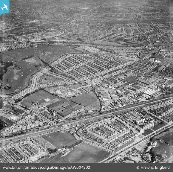
EAW004302 ENGLAND (1947). The Perivale Industrial Park and the surrounding residential area, Perivale, 1947
© Hawlfraint cyfranwyr OpenStreetMap a thrwyddedwyd gan yr OpenStreetMap Foundation. 2026. Trwyddedir y gartograffeg fel CC BY-SA.
Delweddau cyfagos (16)
EAW004302

EPW060619

EPW060621

EPW060624

EPW060625

EPW060620

EPW060622

EPW060623

EAW004298

EAW004297

EAW007190

EPW042711

EAW007192

EAW007186

EAW007187

EPW040835

Manylion
| Pennawd | [EAW004302] The Perivale Industrial Park and the surrounding residential area, Perivale, 1947 |
| Cyfeirnod | EAW004302 |
| Dyddiad | 11-April-1947 |
| Dolen | |
| Enw lle | PERIVALE |
| Plwyf | |
| Ardal | |
| Gwlad | ENGLAND |
| Dwyreiniad / Gogleddiad | 516881, 183651 |
| Hydred / Lledred | -0.31448342450393, 51.539163403593 |
| Cyfeirnod Grid Cenedlaethol | TQ169837 |
Pinnau

APR |
Thursday 20th of September 2018 02:07:49 PM | |
|
ChristopherD |
Wednesday 27th of January 2016 01:43:03 AM | |
|
ChristopherD |
Wednesday 27th of January 2016 01:40:14 AM |