
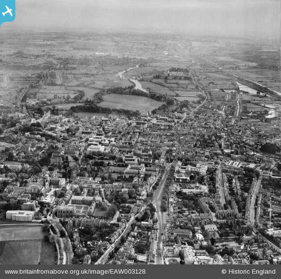
EAW003128 ENGLAND (1946). St Giles' and the city, Oxford, from the north, 1946
© Hawlfraint cyfranwyr OpenStreetMap a thrwyddedwyd gan yr OpenStreetMap Foundation. 2026. Trwyddedir y gartograffeg fel CC BY-SA.
Delweddau cyfagos (9)
EAW003128

EPW022533

EPW022529

EPW038403

EPW038409

EAW045714
 and part of Keble College, Oxford, 1952. This image has been produced from a damaged negative.")
EPW022532

EPW022523

EAW003114

Manylion
| Pennawd | [EAW003128] St Giles' and the city, Oxford, from the north, 1946 |
| Cyfeirnod | EAW003128 |
| Dyddiad | 24-October-1946 |
| Dolen | |
| Enw lle | OXFORD |
| Plwyf | |
| Ardal | |
| Gwlad | ENGLAND |
| Dwyreiniad / Gogleddiad | 451191, 206885 |
| Hydred / Lledred | -1.2582439040397, 51.757856522136 |
| Cyfeirnod Grid Cenedlaethol | SP512069 |
Pinnau

EllaBed |
Tuesday 29th of May 2018 10:44:06 AM | |

Class31 |
Sunday 10th of April 2016 10:57:38 PM | |

Alan McFaden |
Monday 16th of December 2013 10:19:54 PM | |
|
Alan McFaden |
Monday 16th of December 2013 10:17:02 PM | |
|
Class31 |
Monday 16th of September 2013 08:05:16 PM |


