
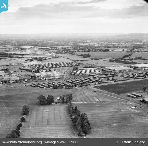
EAW002968 ENGLAND (1946). RAF Locking and environs, Locking, from the south-west, 1946
© Hawlfraint cyfranwyr OpenStreetMap a thrwyddedwyd gan yr OpenStreetMap Foundation. 2026. Trwyddedir y gartograffeg fel CC BY-SA.
Delweddau cyfagos (3)
EAW002968

EAW002967

EAW002969

Manylion
| Pennawd | [EAW002968] RAF Locking and environs, Locking, from the south-west, 1946 |
| Cyfeirnod | EAW002968 |
| Dyddiad | 2-October-1946 |
| Dolen | |
| Enw lle | LOCKING |
| Plwyf | LOCKING |
| Ardal | |
| Gwlad | ENGLAND |
| Dwyreiniad / Gogleddiad | 336830, 160213 |
| Hydred / Lledred | -2.9069274665474, 51.336991371966 |
| Cyfeirnod Grid Cenedlaethol | ST368602 |
Pinnau

bescotbeast |
Friday 28th of March 2014 04:59:07 PM |