
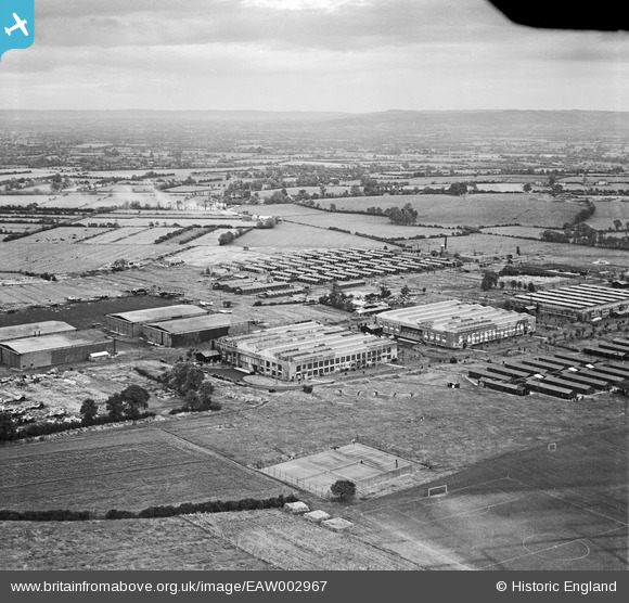
EAW002967 ENGLAND (1946). RAF Locking and environs, Locking, from the south-west, 1946
© Hawlfraint cyfranwyr OpenStreetMap a thrwyddedwyd gan yr OpenStreetMap Foundation. 2026. Trwyddedir y gartograffeg fel CC BY-SA.
Delweddau cyfagos (5)
EAW002967

EAW002962

EAW002968

EAW002964

EAW002963

Manylion
| Pennawd | [EAW002967] RAF Locking and environs, Locking, from the south-west, 1946 |
| Cyfeirnod | EAW002967 |
| Dyddiad | 2-October-1946 |
| Dolen | |
| Enw lle | LOCKING |
| Plwyf | LOCKING |
| Ardal | |
| Gwlad | ENGLAND |
| Dwyreiniad / Gogleddiad | 336916, 160418 |
| Hydred / Lledred | -2.905729263402, 51.338844208258 |
| Cyfeirnod Grid Cenedlaethol | ST369604 |
Pinnau

Sparky |
Friday 15th of September 2017 06:28:23 PM |