
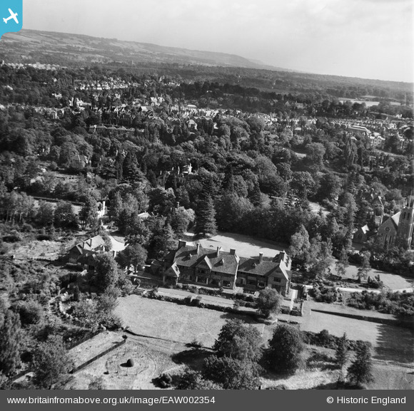
EAW002354 ENGLAND (1946). Kippington Court (Churchill Court) and environs, Kippington, from the west, 1946
© Hawlfraint cyfranwyr OpenStreetMap a thrwyddedwyd gan yr OpenStreetMap Foundation. 2026. Trwyddedir y gartograffeg fel CC BY-SA.
Delweddau cyfagos (9)
EAW002354
 and environs, Kippington, from the west, 1946")
EAW002352
 and environs, Kippington, 1946")
EAW002350
, Kippington, 1946")
EAW002351
, Kippington, 1946")
EAW002357
, Kippington, 1946")
EAW002353
 and St Mary's Church, Kippington, 1946")
EAW002355
 and environs, Kippington, from the south, 1946")
EAW002356
 and environs, Kippington, from the south-west, 1946")
EPW001427

Manylion
| Pennawd | [EAW002354] Kippington Court (Churchill Court) and environs, Kippington, from the west, 1946 |
| Cyfeirnod | EAW002354 |
| Dyddiad | 9-September-1946 |
| Dolen | |
| Enw lle | KIPPINGTON |
| Plwyf | SEVENOAKS |
| Ardal | |
| Gwlad | ENGLAND |
| Dwyreiniad / Gogleddiad | 551998, 154622 |
| Hydred / Lledred | 0.17914157583721, 51.269941308257 |
| Cyfeirnod Grid Cenedlaethol | TQ520546 |
Pinnau
Byddwch y cyntaf i ychwanegu sylw at y ddelwedd hon!