Grwpiau

Walsall streets and buildings
About the group Detailing streets, places and buildings of Walsall
Wedi ei greu 11 March 2014

Sandwell Street Kid |
||
|
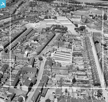
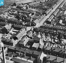
The only aerial view to show a little bit of Sandwell Street, Caldmore.
|

Sandwell Street Kid |
|
|
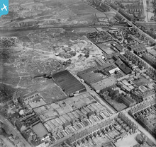
Another excellent picture that shows Park Street in the foreground before the railway was built over just up from The Priory Hotel. The tunnel out of Walsall Station going north was at this time much shorter than it is now.
|

Sandwell Street Kid |
|
|
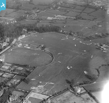
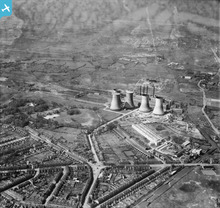
Now I know what my mother meant when she used to say "we used to stroll over the golf links". Not strictly accurate as the course wasn't a links course, but I know what you meant Mom!
|

Sandwell Street Kid |
|
|
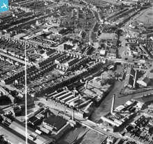
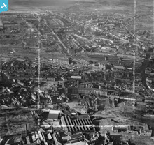
New views of the town now appearing, this one shows the area around Wolverhampton Street and Road.
|

Sandwell Street Kid |
|
|
Chuckery area and Castings Limited from yet another angle.
|

Sandwell Street Kid |
|
|
Another pin sharp image taken from Chuckery looking towards the town, cropped just short of St. Matthews Church.
|

Sandwell Street Kid |
|
|
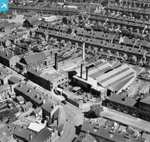
A close-up of the Chuckery area focusing on Selborne Street and the Castings factory.
|

Sandwell Street Kid |
|
|
Great view of Chuckery area and so clear too.
|

Sandwell Street Kid |
|
|
Excellent close-up of J. A. Crabtree, even showing the Walsall Corporation bus driving down Lincoln Road.
|

Sandwell Street Kid |
|
|
Taken at the same time as the other picture of Jacksons and Bates but from a different angle.
|

Sandwell Street Kid |
|
|
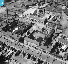
If anything this 1948 view is better than the other one saved. Shows in great detail the area around Edgar Stammers factory.
|

Sandwell Street Kid |
|
|
Great view of this area of Walsall. Never realised there were houses on the corner opposite the now demolished Methodist Church.
|

Sandwell Street Kid |
|
|
Good close-up of the area around Shannons clothing factory.
|

Sandwell Street Kid |
|
|
Good view of the Birchills with Leamore and Bloxwich in the background.
|

Sandwell Street Kid |
|
|
Showing more of Frederick Street towards Navigation Street and the town.
|

Sandwell Street Kid |
|
|
A different view of the Walsall Leather Dressing Co. showing much more of Bridgeman Street, including The Boak factory and the railway goods sidings.
|

Sandwell Street Kid |
|
|
Looking towards Wolverhampton Street, perfect shot of Kirkpatricks.
|

Sandwell Street Kid |
|
|
Not as sharp as some shots but interesting because of its unusual viewing angle.
|

Sandwell Street Kid |
|
|
This shot around Bridgeman St and Queen St is about as sharp as you can get, even see the Anderson shelters in the gardens, brilliant.
|

Sandwell Street Kid |
|
|
Unusual view looking towards Ryecroft, Coalpool and Leamore also showing the streets around St. Peter's Church.
|

Sandwell Street Kid |
|
|
Another brilliant view of a Walsall long gone and so sharp too.
|

Sandwell Street Kid |
|
|
Another great picture of the factory and Broadway North in pin sharp detail.
|

Sandwell Street Kid |
|
|
Yet another interesting shot taken at a later date showing the land between Peal Street and George Street cleared of housing etc.
|

Sandwell Street Kid |
|
|
Same title as another shot presumably taken on the same day in 1921 but from a different angle.
|

Sandwell Street Kid |
|
|
St. Peters on Stafford Street which is in the foreground with The Butts in the background.
|

Sandwell Street Kid |
|
|
Finally worked out the location of this one, see the blue flags.
|

Sandwell Street Kid |
|
|
Good later image from 1948 with focus on Caldmore Road area.
|

Sandwell Street Kid |
|
|
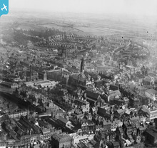
Another great view of the town from a different angle showing one of the more affluent areas of Walsall.
|

Sandwell Street Kid |
|
|
Clearly seen on this photo is the land opposite the Walsall Litho' that was later occupied by the Co-op Dairy which opened in July 1937.
|

Sandwell Street Kid |
|
|
Crabtree's factory and Tong Street with Chuckery Schools.
|

Sandwell Street Kid |
|
|
Five years later than one of the other photos in the group and already the building next to the Paul Pry pub has gone along with the Jolly Bacchus pub in New Street.
|

Sandwell Street Kid |
|
|
Another great view of the area around St. Matthews, Gorton's Yard, Hill Street, Temple Street, Church Street and Hill Street prior to demolition in the 1930s.
|

Sandwell Street Kid |
|
|
A great photograph of the old town showing an area to the right of the pic' known as Gorton's Yard which was demolished around 1933 I think.
|

Sandwell Street Kid |
|
|
Another photograph showing at lot of old Walsall now long gone.
|

Sandwell Street Kid |
|
|
Difficult to think looking at this picture that the area shown between Bradford Street and the railway, was the site of the old Walsall Racecourse which ran from circa 1754-1876.
|

Sandwell Street Kid |
|
|
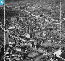
This area shows Bridge Street, Lichfield Street, Leicester Street, the start of Upper Bridge Street and the very bottom of Freer Street.
|

Sandwell Street Kid |
|
|
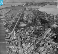
For anyone interested in old Walsall any of the photographs of the town on this website are worth their weight in gold.
This one shows the Highgate Road/Avenue area complete with Highgate Brewery, the windmill, the Eylands old house once known as Hopelands and many other sites of interest and all before the houses on the one side of Highgate Avenue were built. This area is of particular interest to me as I was brought up in Sandwell Street, very close to this area......but not quite as posh! |

Sandwell Street Kid |














see image record