Grwpiau
Old Heaton
About the group Photographs relating to Heaton and High Heaton, Newcastle upon Tyne
Wedi ei greu 21 July 2013

Oldheaton |
||
|
Wills not Eills!
|

Oldheaton |
|
|
It would be interesting to know if the burn was put in a culvert or just filled in
|

sphericalsquare |
|
|
I think the burn was put into a culvert. Its funny (peculiar) but a few years back, when we had the floods, there was an appeal from the council for people to come forward and help map the culverts, turns the councils at the time never bothered to make records of them. It happened after that new build collapsed because of a culvert.
I also remember an old lady taking about the old burn at the bus stop on Red Hall Drive a few days after the floods, she recalled the burn running through there. I think possibly that’s why the old running track next to the Lochside Pub floods all the time, because of the water table being high at that point. |

James |
|

Oldheaton |
||

Oldheaton |
||
|
Includes Ferndene estate
|

Oldheaton |
|

Oldheaton |
||
|
Site of Sainsbury's etc
|

Oldheaton |
|
|
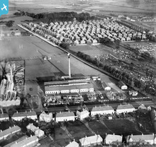
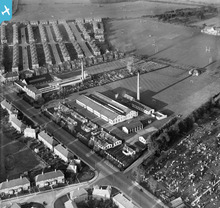
Wills Factory built in 1950s
|

Oldheaton |
|
|
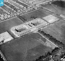
Housing in High Heaton. Note the quarry on Newton Road. Shops not yet built.
|

Oldheaton |
|
|
One of several images of Parsons and surrounding area.
|

Oldheaton |
|
|
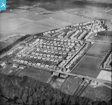
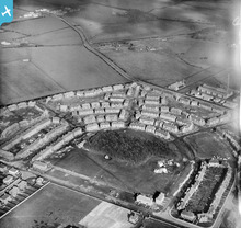
High Heaton estate
|

Oldheaton |
|
|
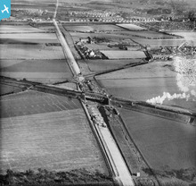
Labelled Wallsend but shows North Heaton especially where the bungalows were built from 1930s.
|

Oldheaton |
|
|
Looking North Shows Southlands towards top and Newton Road to the right.
|

Oldheaton |

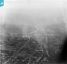
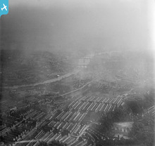
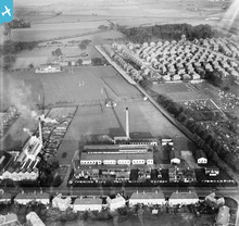


see image record