
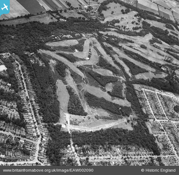
EAW002090 ENGLAND (1946). Addington Golf Course, Spring Park, 1946
© Copyright OpenStreetMap contributors and licensed by the OpenStreetMap Foundation. 2024. Cartography is licensed as CC BY-SA.
Nearby Images (26)
EAW002090

EAW002094

EAW002093

EAW002089

EAW002091

EAW002099

EAW004322

EAW002097

EAW004318

EAW004323

EAW002095

EAW051809

EAW002098

EAW002096

EAW051802

EAW051805

EAW004319

EAW051808

EAW002092

EAW051810

EAW004320

EAW051806

EAW004316

EAW004321

EAW004324

EAW051803

Details
| Title | [EAW002090] Addington Golf Course, Spring Park, 1946 |
| Reference | EAW002090 |
| Date | 2-August-1946 |
| Link | |
| Place name | SPRING PARK |
| Parish | |
| District | |
| Country | ENGLAND |
| Easting / Northing | 537385, 164999 |
| Longitude / Latitude | -0.026219753127522, 51.366915089831 |
| National Grid Reference | TQ374650 |
