
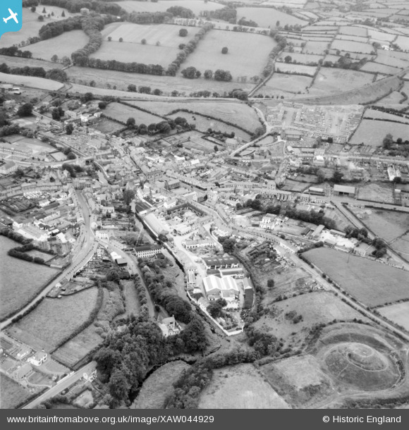
XAW044929 NORTHERN IRELAND (1952). General View, Dromore, Banbridge, Northern Ireland, 1952. Oblique aerial photograph taken facing North/West.
© Copyright OpenStreetMap contributors and licensed by the OpenStreetMap Foundation. 2026. Cartography is licensed as CC BY-SA.
Nearby Images (7)
XAW044929

XAW044928

XAW044927

XAW051874

XAW051881

XAW013344

XAW051880

Details
| Title | [XAW044929] General View, Dromore, Banbridge, Northern Ireland, 1952. Oblique aerial photograph taken facing North/West. |
| Reference | XAW044929 |
| Date | 24-July-1952 |
| Link | |
| Place name | DROMORE |
| Parish | NORTHERN IRELAND |
| District | |
| Country | NORTHERN IRELAND |
| Easting / Northing | 130900, 510048 |
| Longitude / Latitude | -6.149127, 54.414489 |
| National Grid Reference |
Pins

Neville |
Thursday 9th of January 2020 11:45:52 PM | |
|
Neville |
Thursday 9th of January 2020 11:39:25 PM | |
|
Neville |
Thursday 9th of January 2020 11:39:05 PM | |
|
Neville |
Thursday 9th of January 2020 11:36:38 PM | |
|
Neville |
Thursday 9th of January 2020 11:35:18 PM | |
|
Neville |
Thursday 9th of January 2020 11:34:27 PM | |
|
Neville |
Thursday 9th of January 2020 11:33:57 PM | |
|
Neville |
Thursday 9th of January 2020 11:28:34 PM |
