
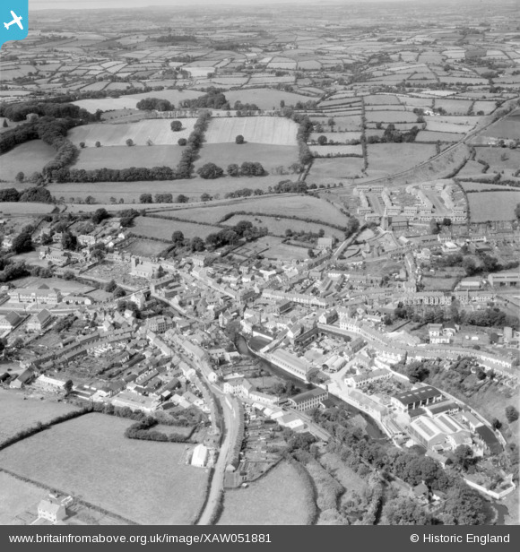
XAW051881 NORTHERN IRELAND (1953). Dromore Spec, Dromore, Banbridge, Northern Ireland, 1953. Oblique aerial photograph taken facing North.
© Copyright OpenStreetMap contributors and licensed by the OpenStreetMap Foundation. 2026. Cartography is licensed as CC BY-SA.
Nearby Images (4)
XAW051881

XAW051880

XAW013344

XAW044929

Details
| Title | [XAW051881] Dromore Spec, Dromore, Banbridge, Northern Ireland, 1953. Oblique aerial photograph taken facing North. |
| Reference | XAW051881 |
| Date | 1953 |
| Link | |
| Place name | DROMORE |
| Parish | NORTHERN IRELAND |
| District | |
| Country | NORTHERN IRELAND |
| Easting / Northing | 130937, 509812 |
| Longitude / Latitude | -6.148347, 54.412389 |
| National Grid Reference |
Pins

John9 |
Wednesday 8th of October 2025 09:47:43 AM |