
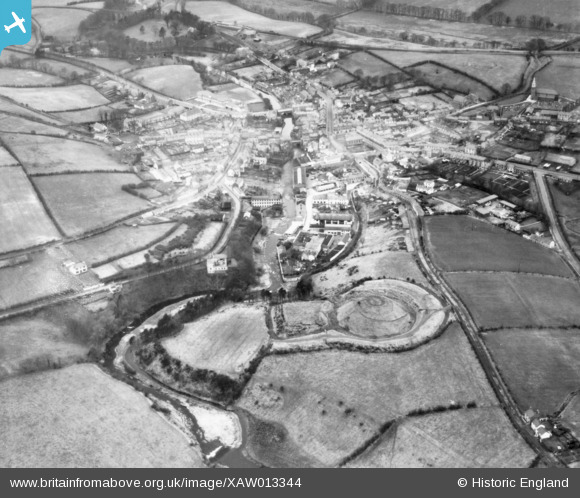
XAW013344 NORTHERN IRELAND (1948). Castle Sites, Dromore, Banbridge, Northern Ireland, 1948. Oblique aerial photograph taken facing North/West.
© Copyright OpenStreetMap contributors and licensed by the OpenStreetMap Foundation. 2026. Cartography is licensed as CC BY-SA.
Nearby Images (9)
XAW013344

XAW013345

XAW044911

XAW044912

XAW051881

XAW040579

XAW051884

XAW044929

XAW044928

Details
| Title | [XAW013344] Castle Sites, Dromore, Banbridge, Northern Ireland, 1948. Oblique aerial photograph taken facing North/West. |
| Reference | XAW013344 |
| Date | 15-February-1948 |
| Link | |
| Place name | DROMORE |
| Parish | NORTHERN IRELAND |
| District | |
| Country | NORTHERN IRELAND |
| Easting / Northing | 131110, 509889 |
| Longitude / Latitude | -6.145762, 54.41317 |
| National Grid Reference |
Pins

Drumcovitt |
Monday 27th of October 2014 12:43:37 PM |