
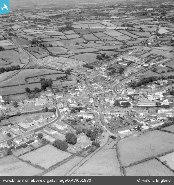
XAW051880 NORTHERN IRELAND (1953). Dromore Spec, Dromore, Banbridge, Northern Ireland, 1953. Oblique aerial photograph taken facing North.
© Copyright OpenStreetMap contributors and licensed by the OpenStreetMap Foundation. 2026. Cartography is licensed as CC BY-SA.
Nearby Images (4)
XAW051880

XAW051881

XAW051882

XAW044929

Details
| Title | [XAW051880] Dromore Spec, Dromore, Banbridge, Northern Ireland, 1953. Oblique aerial photograph taken facing North. |
| Reference | XAW051880 |
| Date | 1953 |
| Link | |
| Place name | DROMORE |
| Parish | NORTHERN IRELAND |
| District | |
| Country | NORTHERN IRELAND |
| Easting / Northing | 130766, 509819 |
| Longitude / Latitude | -6.150987, 54.412368 |
| National Grid Reference |
Pins
Be the first to add a comment to this image!