
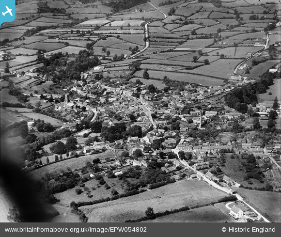
EPW054802 ENGLAND (1937). The town, Beaminster, 1937
© Copyright OpenStreetMap contributors and licensed by the OpenStreetMap Foundation. 2025. Cartography is licensed as CC BY-SA.
Nearby Images (17)
EPW054802

EPW024036

EPW013514

EPW013512

EPW024033

EPW013513

EPW024031

EPW024038

EPW054803

EPW024035

EPW024034

EPW054799

EPW054801

EPW054798

EPW054796

EPW054800

EPW024039

Details
| Title | [EPW054802] The town, Beaminster, 1937 |
| Reference | EPW054802 |
| Date | August-1937 |
| Link | |
| Place name | BEAMINSTER |
| Parish | BEAMINSTER |
| District | |
| Country | ENGLAND |
| Easting / Northing | 348041, 101278 |
| Longitude / Latitude | -2.7375153056743, 50.808159190195 |
| National Grid Reference | ST480013 |
Pins


User Comment Contributions
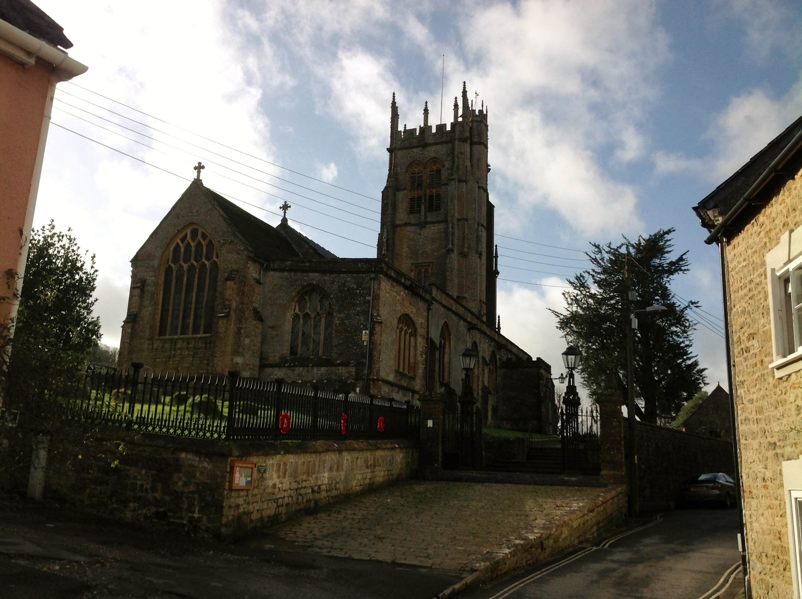
St. Mary's Church 01/02/2014 |

Class31 |
Sunday 2nd of February 2014 04:54:12 PM |