
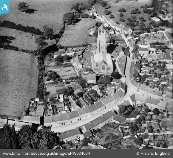
EPW024034 ENGLAND (1928). St Mary's Church, Beaminster, 1928
© Copyright OpenStreetMap contributors and licensed by the OpenStreetMap Foundation. 2025. Cartography is licensed as CC BY-SA.
Nearby Images (11)
EPW024034

EPW024035

EPW024033

EPW013513

EPW013512

EPW054803

EPW024036

EPW054802

EPW013514

EPW024031

EPW024038

Details
| Title | [EPW024034] St Mary's Church, Beaminster, 1928 |
| Reference | EPW024034 |
| Date | September-1928 |
| Link | |
| Place name | BEAMINSTER |
| Parish | BEAMINSTER |
| District | |
| Country | ENGLAND |
| Easting / Northing | 347925, 101225 |
| Longitude / Latitude | -2.7391541627175, 50.807672151371 |
| National Grid Reference | ST479012 |
Pins
Be the first to add a comment to this image!
User Comment Contributions
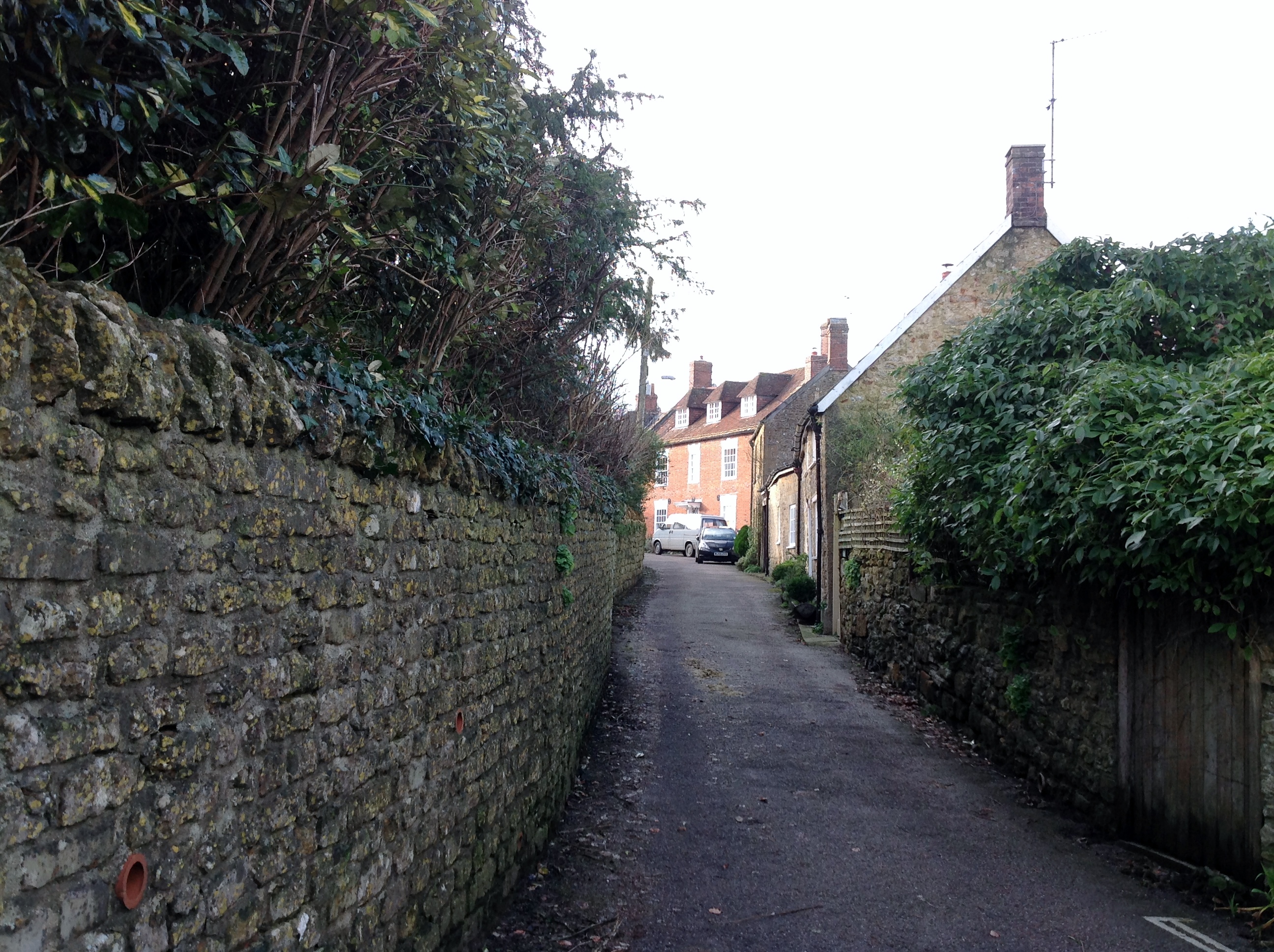
Church Street 01/02/2014 |

Class31 |
Sunday 2nd of February 2014 02:56:48 PM |
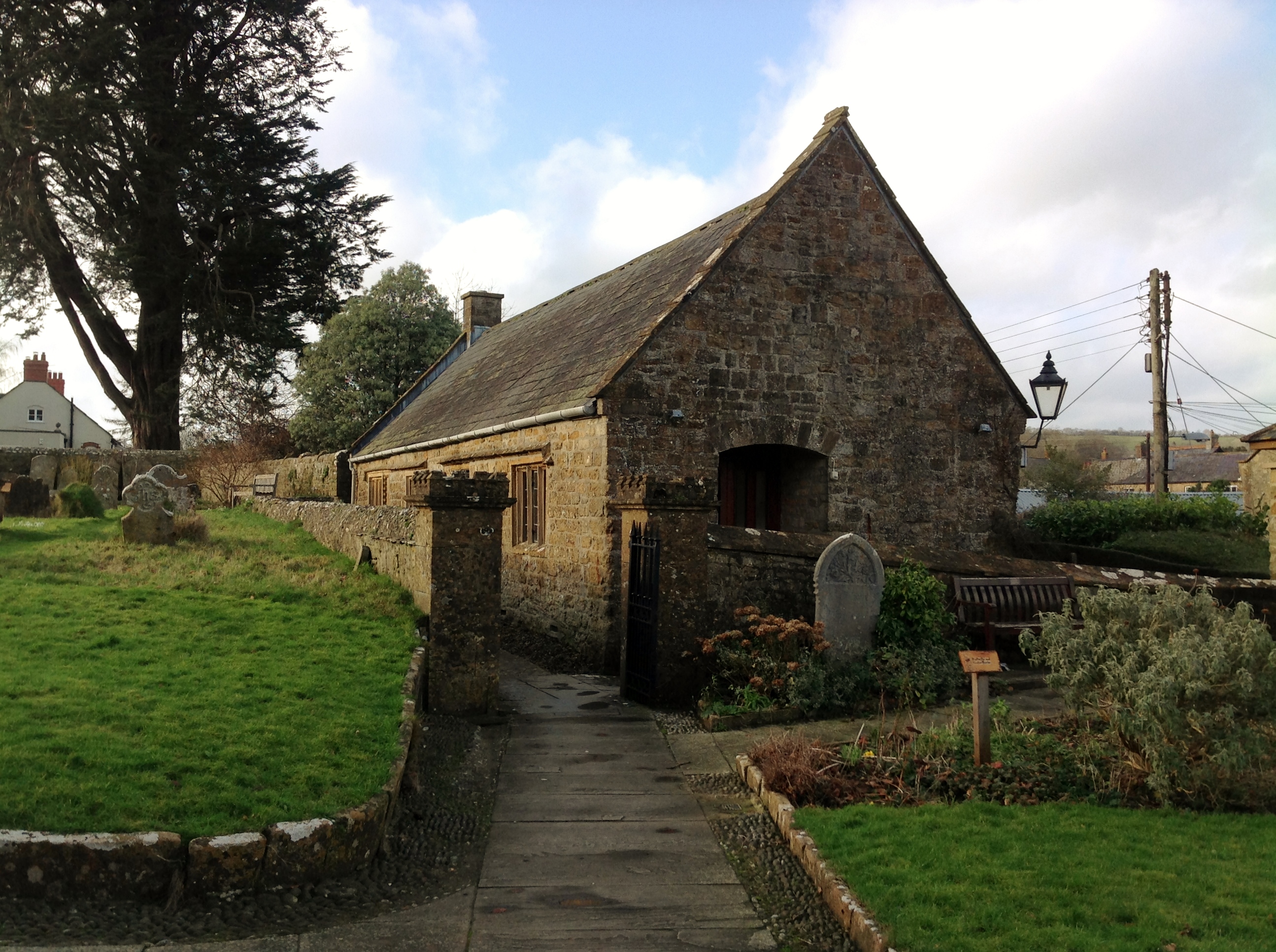
Church Hall 01/02/2014 |
Class31 |
Sunday 2nd of February 2014 02:55:05 PM |
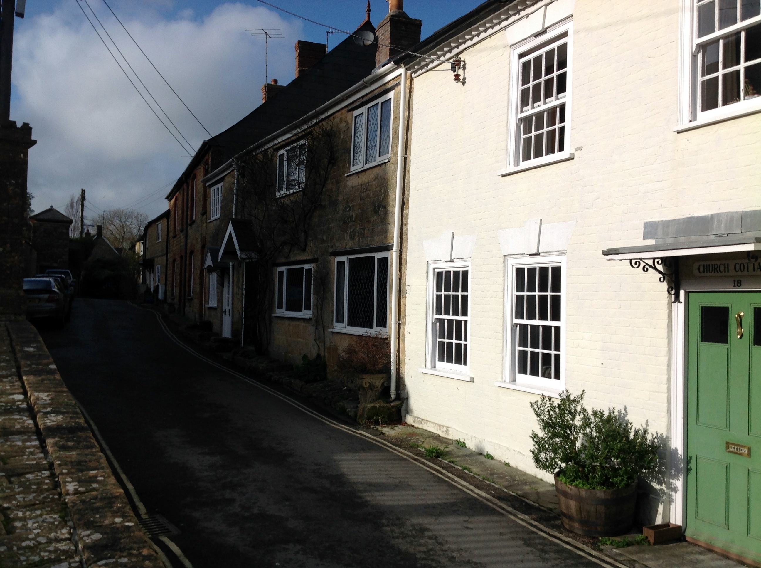
Church Street 01/02/2014 |
Class31 |
Sunday 2nd of February 2014 02:53:34 PM |
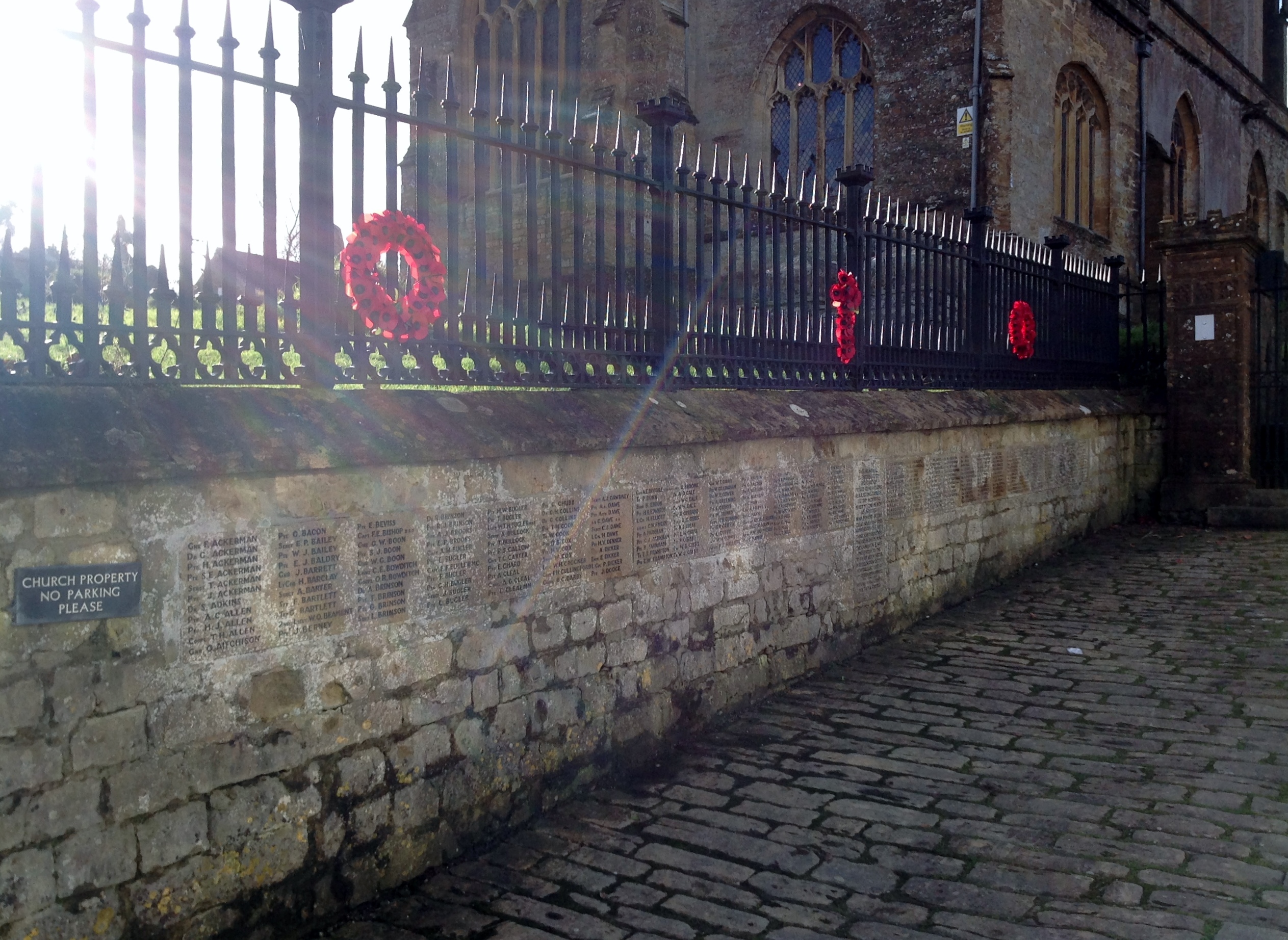
War Memorial 01/02/2014 |
Class31 |
Sunday 2nd of February 2014 02:52:42 PM |
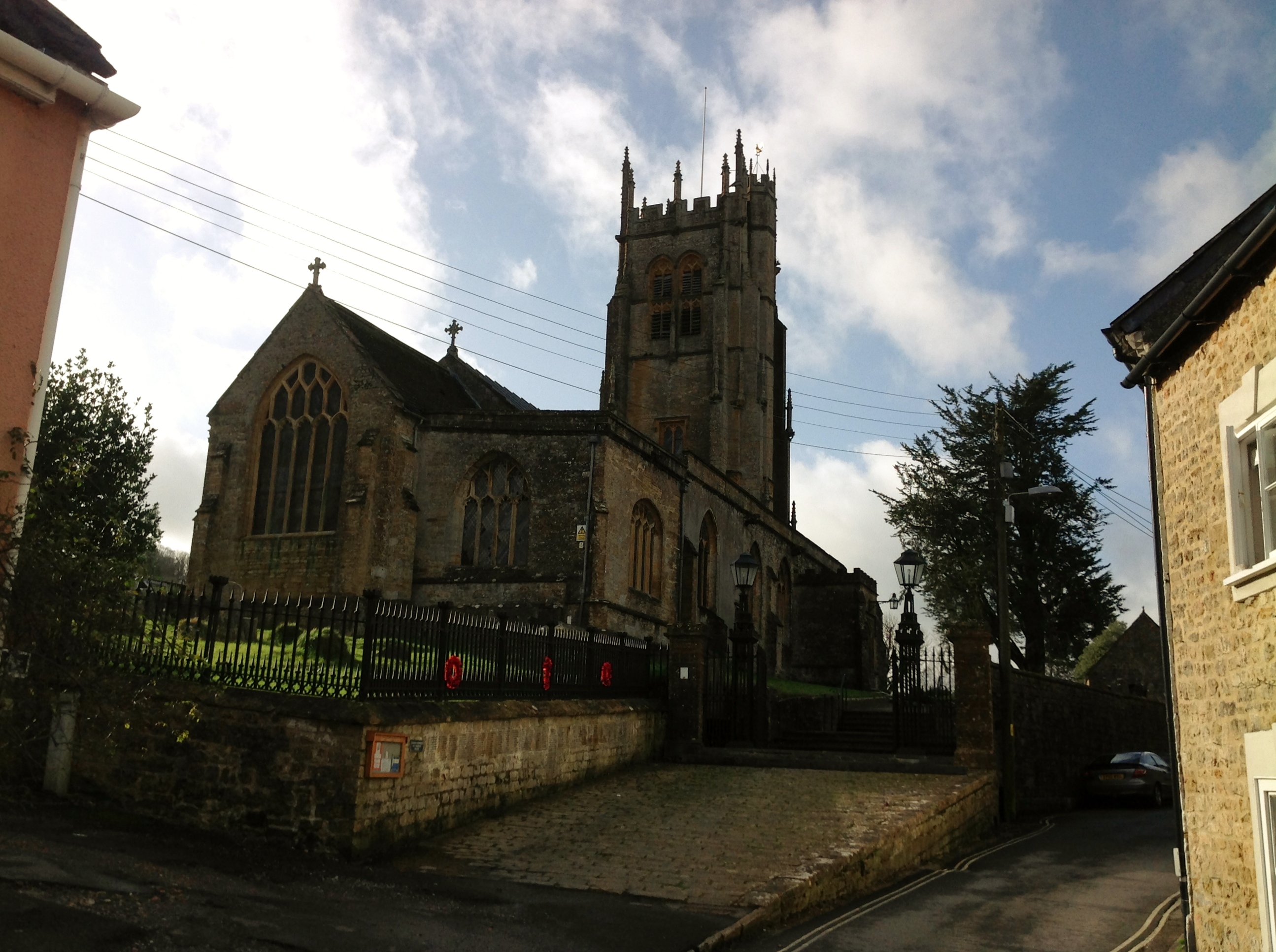
St Mary's Church 01/02/2014 |
Class31 |
Sunday 2nd of February 2014 02:50:43 PM |