
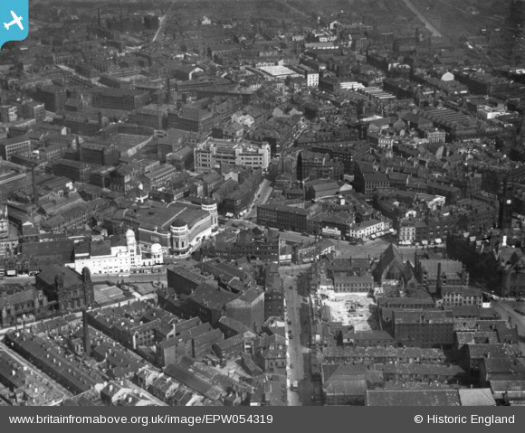
EPW054319 ENGLAND (1937). Town Hall Square and environs, Bradford, 1937. This image has been produced from a print.
© Copyright OpenStreetMap contributors and licensed by the OpenStreetMap Foundation. 2026. Cartography is licensed as CC BY-SA.
Nearby Images (29)
EPW054319

EAW030798

EPW057186

EAW030799

EPW024501

EPW024390

EPW028913

EPW028912

EPW024404

EAW030801

EPW052165

EPW057183

EPW024521

EPW024393

EPW054313

EPW024395

EPW024392

EAW030800

EPW045334

EPW028915

EPW057191

EPW057189

EPW051228

EPW024409

EPW024505

EPW052163

EPW054312

EPW054316

EPW057184

Details
| Title | [EPW054319] Town Hall Square and environs, Bradford, 1937. This image has been produced from a print. |
| Reference | EPW054319 |
| Date | 14-July-1937 |
| Link | |
| Place name | BRADFORD |
| Parish | |
| District | |
| Country | ENGLAND |
| Easting / Northing | 416164, 432965 |
| Longitude / Latitude | -1.7546024445892, 53.792531328093 |
| National Grid Reference | SE162330 |
Pins
Be the first to add a comment to this image!