
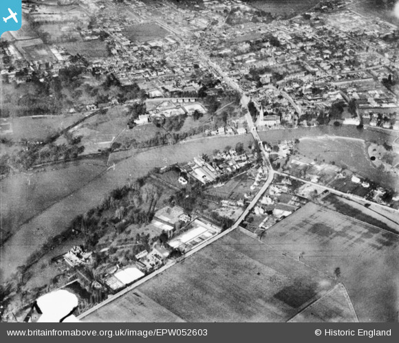
EPW052603 ENGLAND (1937). Marlow, the River Thames and Marlow Road, Stoney Ware, 1937. This image has been produced from a copy-negative.
© Copyright OpenStreetMap contributors and licensed by the OpenStreetMap Foundation. 2026. Cartography is licensed as CC BY-SA.
Nearby Images (15)
EPW052603

EPW000920

EPW022691

EPW022689

EAW034258

EPW001019

EAW028003

EPW000922

EPW000915

EPW052602

EAW028005

EAW028004

EAW028002

EAW045411

EAW034259

Details
| Title | [EPW052603] Marlow, the River Thames and Marlow Road, Stoney Ware, 1937. This image has been produced from a copy-negative. |
| Reference | EPW052603 |
| Date | 1-March-1937 |
| Link | |
| Place name | STONEY WARE |
| Parish | BISHAM |
| District | |
| Country | ENGLAND |
| Easting / Northing | 485025, 185984 |
| Longitude / Latitude | -0.77317352869905, 51.565837299605 |
| National Grid Reference | SU850860 |
Pins
Be the first to add a comment to this image!