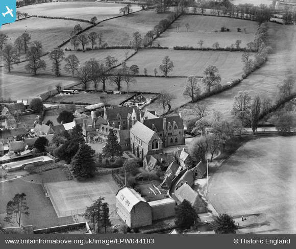
EPW044183 ENGLAND (1934). All Saints' School, Bloxham, 1934
© Copyright OpenStreetMap contributors and licensed by the OpenStreetMap Foundation. 2026. Cartography is licensed as CC BY-SA.
Nearby Images (12)
EPW044183

EPW044971

EPW044181

EPW044974

EPW044185

EPW044973

EPW044186

EPW044187

EPW044182

EPW044972

EPW044184

EPW044188

Details
| Title | [EPW044183] All Saints' School, Bloxham, 1934 |
| Reference | EPW044183 |
| Date | May-1934 |
| Link | |
| Place name | BLOXHAM |
| Parish | BLOXHAM |
| District | |
| Country | ENGLAND |
| Easting / Northing | 443094, 236204 |
| Longitude / Latitude | -1.3718965895058, 52.022156275706 |
| National Grid Reference | SP431362 |
Pins

Starman |
Thursday 1st of January 2026 06:12:20 PM |