
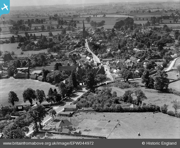
EPW044972 ENGLAND (1934). Bloxham School and the village, Bloxham, from the north, 1934
© Copyright OpenStreetMap contributors and licensed by the OpenStreetMap Foundation. 2026. Cartography is licensed as CC BY-SA.
Nearby Images (11)
EPW044972

EPW044971

EPW044183

EPW044186

EPW044185

EPW044181

EPW044187

EPW044184

EPW044974

EPW044182

EPW044973

Details
| Title | [EPW044972] Bloxham School and the village, Bloxham, from the north, 1934 |
| Reference | EPW044972 |
| Date | June-1934 |
| Link | |
| Place name | BLOXHAM |
| Parish | BLOXHAM |
| District | |
| Country | ENGLAND |
| Easting / Northing | 443130, 236337 |
| Longitude / Latitude | -1.3713551516183, 52.02334930224 |
| National Grid Reference | SP431363 |
Pins

Ged |
Wednesday 20th of September 2023 05:39:13 PM | |
|
Ged |
Wednesday 20th of September 2023 05:37:13 PM | |
|
Ged |
Wednesday 20th of September 2023 05:34:35 PM | |
|
Ged |
Thursday 24th of February 2022 10:18:58 AM | |
|
Ged |
Thursday 24th of February 2022 10:15:15 AM | |
|
Ged |
Thursday 24th of February 2022 10:14:00 AM | |
|
Ged |
Thursday 24th of February 2022 10:12:54 AM | |
|
Ged |
Thursday 24th of February 2022 10:11:34 AM | |
|
Ged |
Wednesday 8th of December 2021 05:07:16 PM | |
|
Starman |
Tuesday 24th of March 2020 07:26:18 PM | |

Class31 |
Wednesday 6th of May 2015 08:18:30 AM | |
|
Class31 |
Wednesday 6th of May 2015 08:17:59 AM |

