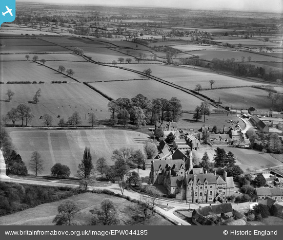
EPW044185 ENGLAND (1934). All Saints' School and environs, Bloxham, from the north-west, 1934
© Copyright OpenStreetMap contributors and licensed by the OpenStreetMap Foundation. 2026. Cartography is licensed as CC BY-SA.
Nearby Images (11)
EPW044185

EPW044186

EPW044187

EPW044183

EPW044971

EPW044184

EPW044973

EPW044974

EPW044181

EPW044972

EPW044182

Details
| Title | [EPW044185] All Saints' School and environs, Bloxham, from the north-west, 1934 |
| Reference | EPW044185 |
| Date | May-1934 |
| Link | |
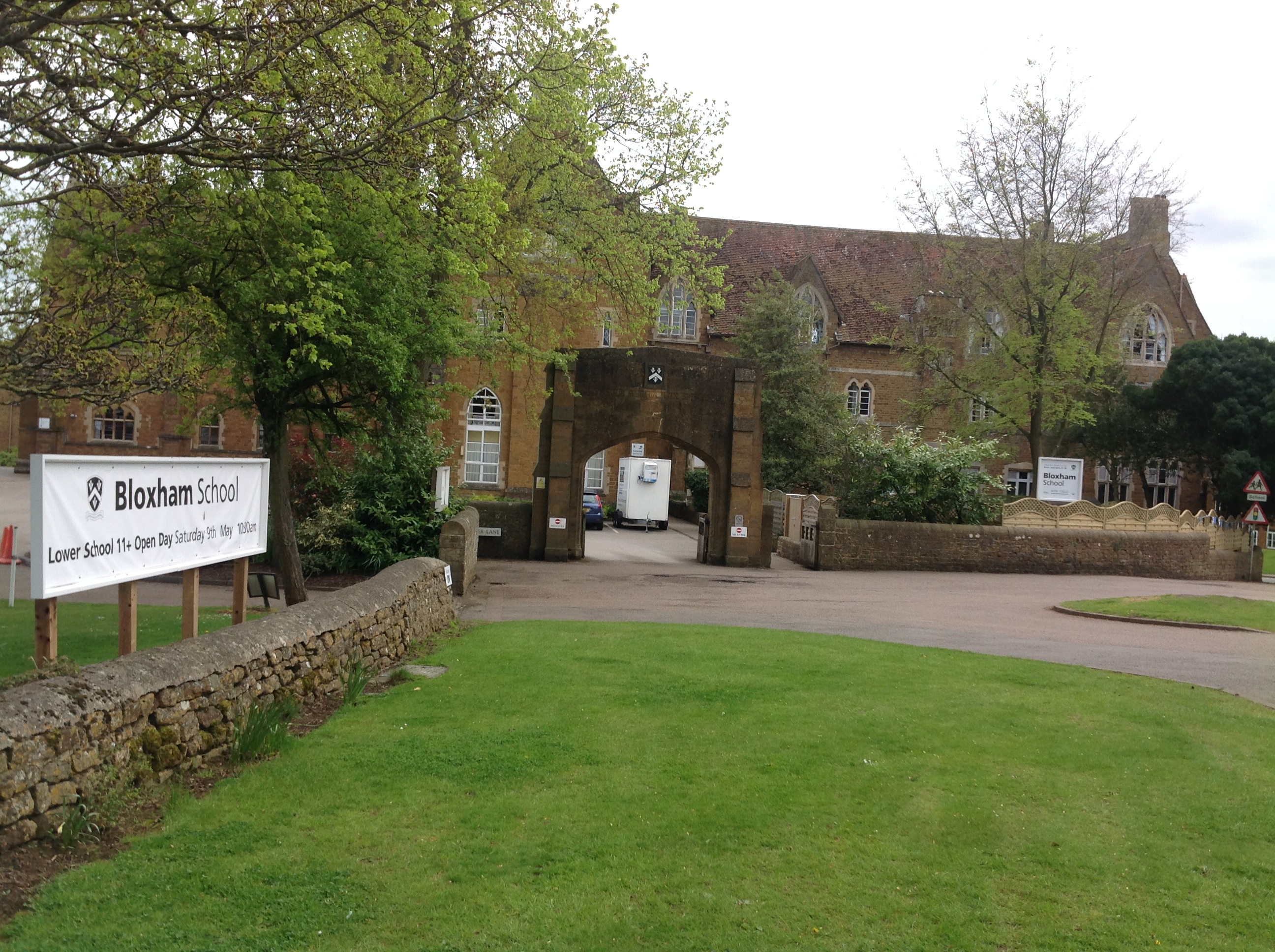
| Place name | BLOXHAM |
| Parish | BLOXHAM |
| District | |
| Country | ENGLAND |
| Easting / Northing | 443190, 236201 |
| Longitude / Latitude | -1.370497840787, 52.02212183498 |
| National Grid Reference | SP432362 |
Pins
Be the first to add a comment to this image!