
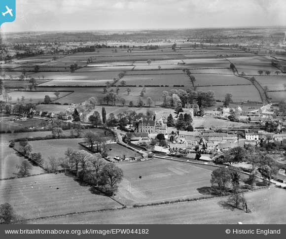
EPW044182 ENGLAND (1934). All Saints' School and environs, Bloxham, from the west, 1934
© Copyright OpenStreetMap contributors and licensed by the OpenStreetMap Foundation. 2026. Cartography is licensed as CC BY-SA.
Nearby Images (10)
EPW044182

EPW044181

EPW044188

EPW044183

EPW044971

EPW044974

EPW044973

EPW044972

EPW044185

EPW044186

Details
| Title | [EPW044182] All Saints' School and environs, Bloxham, from the west, 1934 |
| Reference | EPW044182 |
| Date | May-1934 |
| Link | |
| Place name | BLOXHAM |
| Parish | BLOXHAM |
| District | |
| Country | ENGLAND |
| Easting / Northing | 442959, 236189 |
| Longitude / Latitude | -1.3738659966527, 52.022031880861 |
| National Grid Reference | SP430362 |
Pins

Ged |
Wednesday 20th of September 2023 05:23:06 PM | |
|
Ged |
Wednesday 20th of September 2023 05:22:31 PM | |
|
Ged |
Wednesday 20th of September 2023 05:21:59 PM | |
|
Ged |
Wednesday 20th of September 2023 05:21:28 PM | |
|
Ged |
Wednesday 20th of September 2023 05:21:04 PM |
User Comment Contributions
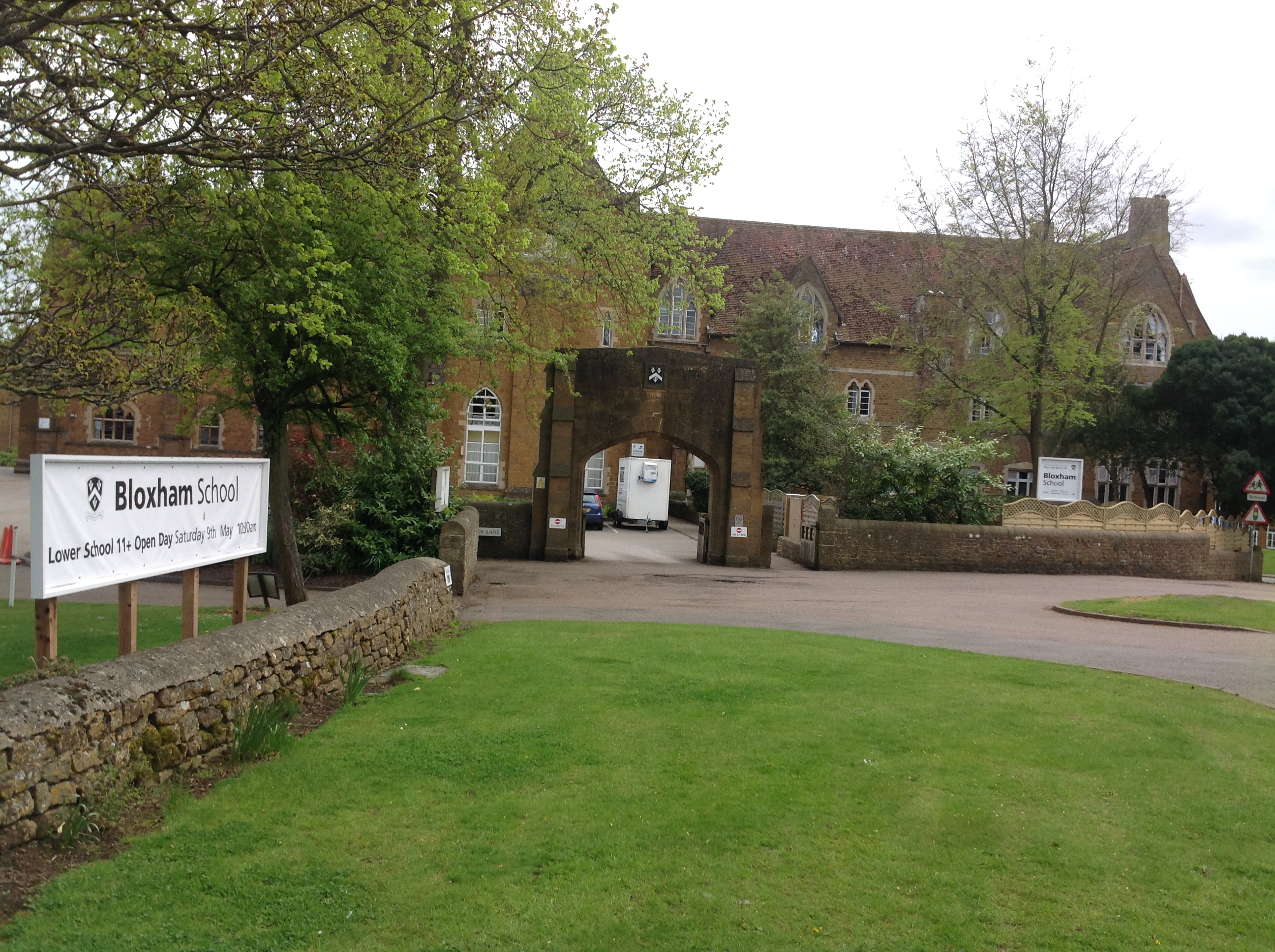
Bloxham School also known as All Saints' School, Bloxham, 04/05/2015 |

Class31 |
Wednesday 6th of May 2015 07:57:15 AM |