
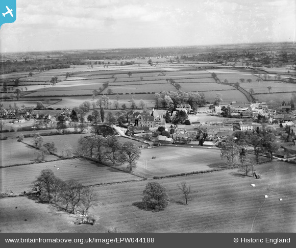
EPW044188 ENGLAND (1934). All Saints' School, the village and surrounding countryside, Bloxham, from the north-west, 1934
© Copyright OpenStreetMap contributors and licensed by the OpenStreetMap Foundation. 2026. Cartography is licensed as CC BY-SA.
Nearby Images (7)
EPW044188

EPW044182

EPW044181

EPW044971

EPW044183

EPW044974

EPW044973

Details
| Title | [EPW044188] All Saints' School, the village and surrounding countryside, Bloxham, from the north-west, 1934 |
| Reference | EPW044188 |
| Date | May-1934 |
| Link | |
| Place name | BLOXHAM |
| Parish | BLOXHAM |
| District | |
| Country | ENGLAND |
| Easting / Northing | 442872, 236218 |
| Longitude / Latitude | -1.3751303197879, 52.022299356455 |
| National Grid Reference | SP429362 |
Pins
Be the first to add a comment to this image!
User Comment Contributions
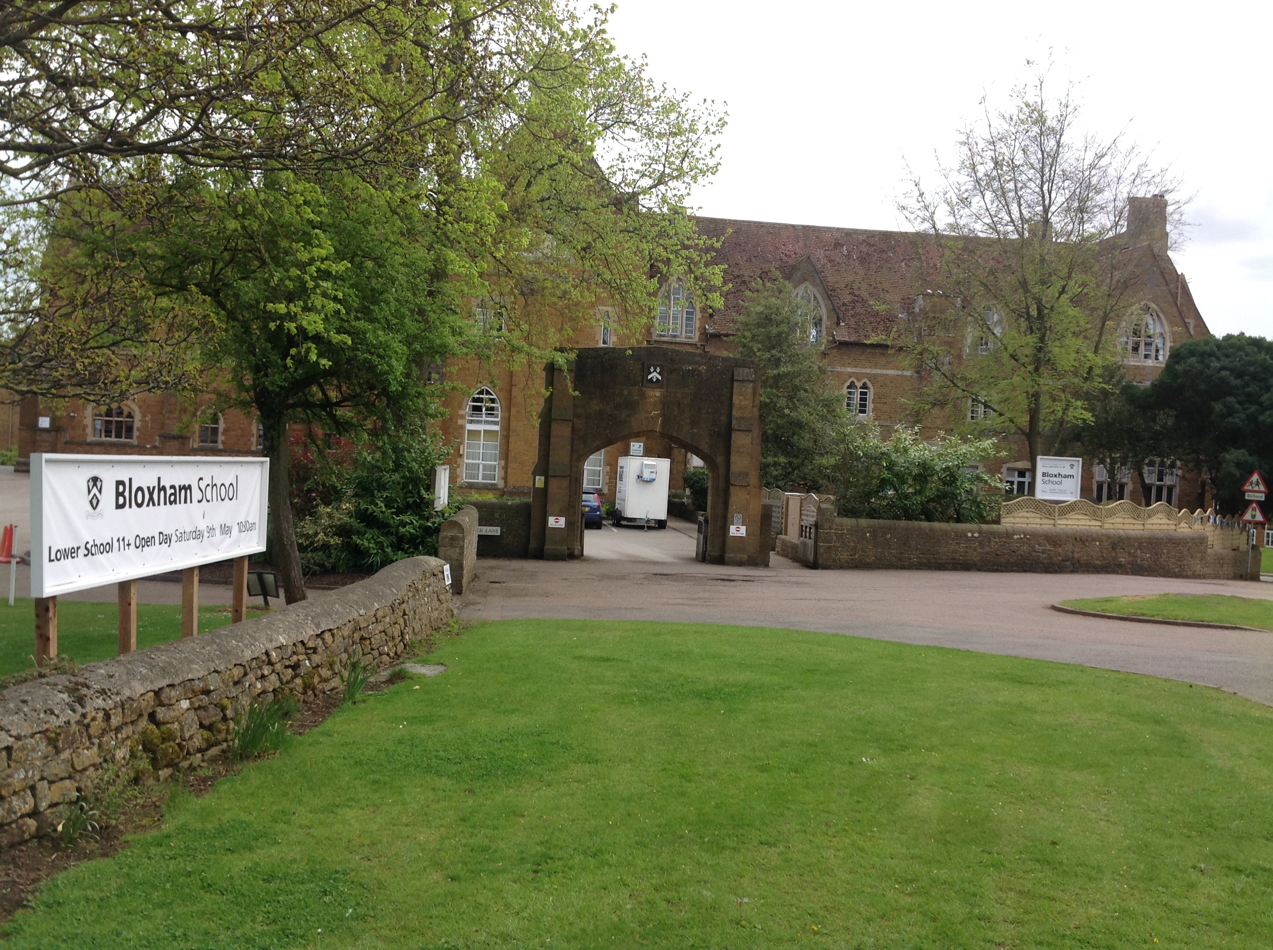
Bloxham School also known as All Saints' School, Bloxham, 04/05/2015 |

Class31 |
Wednesday 6th of May 2015 08:03:19 AM |