
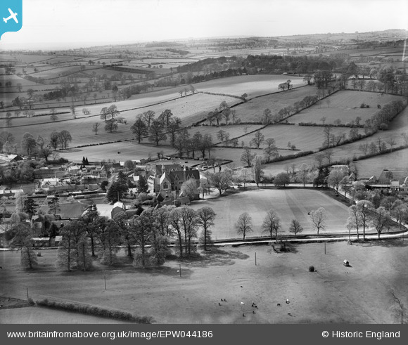
EPW044186 ENGLAND (1934). All Saints' School and environs, Bloxham, from the east, 1934
© Copyright OpenStreetMap contributors and licensed by the OpenStreetMap Foundation. 2026. Cartography is licensed as CC BY-SA.
Nearby Images (11)
EPW044186

EPW044185

EPW044187

EPW044183

EPW044971

EPW044184

EPW044973

EPW044974

EPW044181

EPW044972

EPW044182

Details
| Title | [EPW044186] All Saints' School and environs, Bloxham, from the east, 1934 |
| Reference | EPW044186 |
| Date | May-1934 |
| Link | |
| Place name | BLOXHAM |
| Parish | BLOXHAM |
| District | |
| Country | ENGLAND |
| Easting / Northing | 443191, 236207 |
| Longitude / Latitude | -1.3704825091944, 52.022175704089 |
| National Grid Reference | SP432362 |
Pins

User Comment Contributions
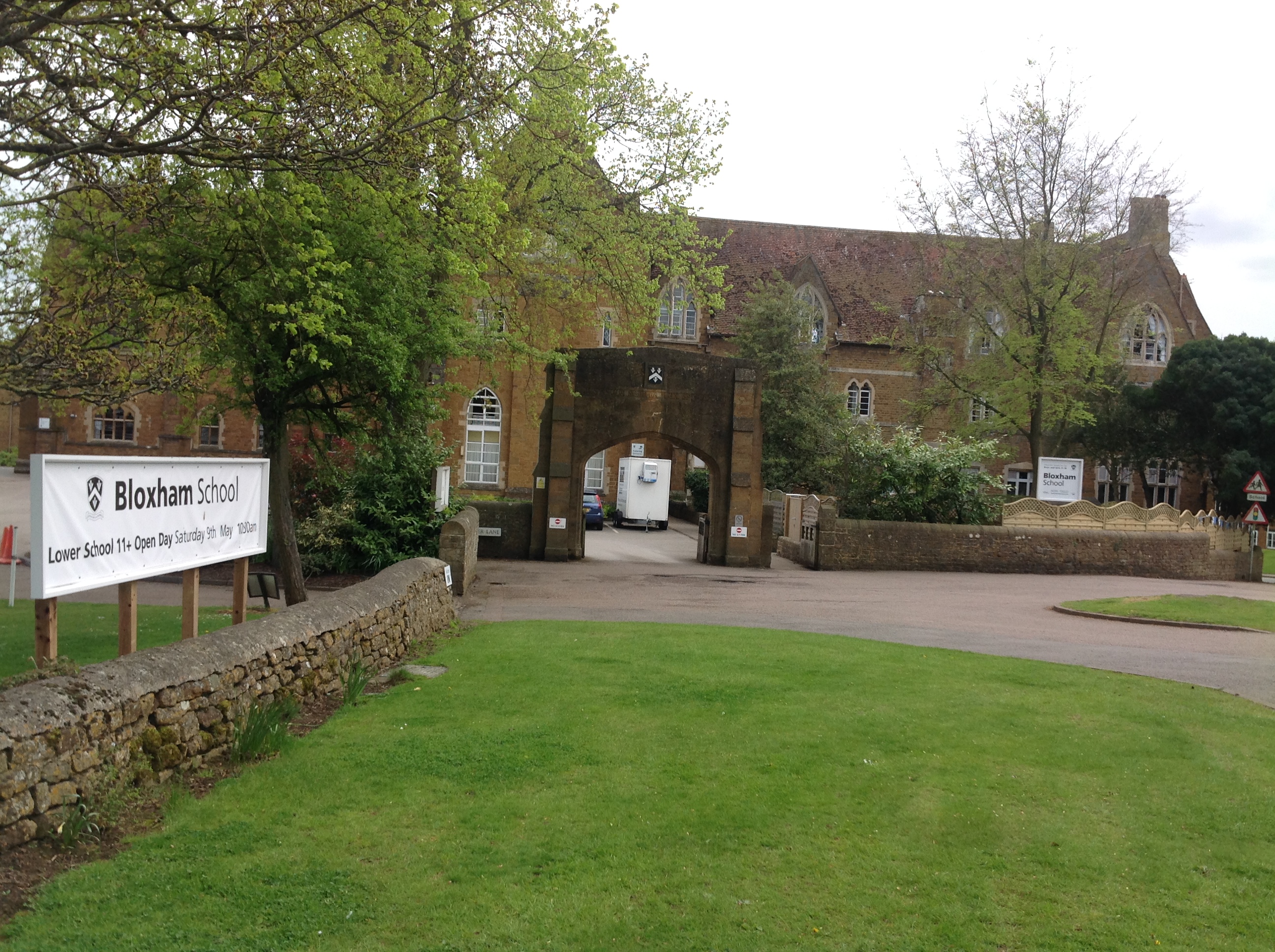
Bloxham School also known as All Saints' School, Bloxham, 04/05/2015 |

Class31 |
Wednesday 6th of May 2015 08:02:04 AM |