
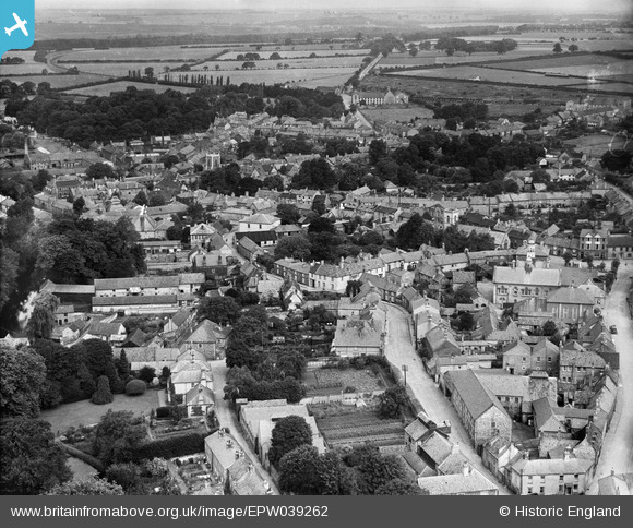
EPW039262 ENGLAND (1932). Raymond Street and environs, Thetford, 1932
© Copyright OpenStreetMap contributors and licensed by the OpenStreetMap Foundation. 2026. Cartography is licensed as CC BY-SA.
Nearby Images (9)
EPW039262

EPW021451

EPW021457

EPW021448

EPW039260

EPW021459

EPW021449

EPW021450

EPW021454

Details
| Title | [EPW039262] Raymond Street and environs, Thetford, 1932 |
| Reference | EPW039262 |
| Date | July-1932 |
| Link | |
| Place name | THETFORD |
| Parish | THETFORD |
| District | |
| Country | ENGLAND |
| Easting / Northing | 587062, 283024 |
| Longitude / Latitude | 0.75074681914213, 52.412803285229 |
| National Grid Reference | TL871830 |
Pins
Be the first to add a comment to this image!