
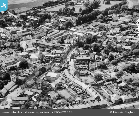
EPW021448 ENGLAND (1928). The Town Centre, Thetford, 1928
© Copyright OpenStreetMap contributors and licensed by the OpenStreetMap Foundation. 2026. Cartography is licensed as CC BY-SA.
Nearby Images (10)
EPW021448

EPW021459

EPW039262

EPW021454

EPW021449

EPW021451

EPW021458

EPW021457

EPW021450

EPW039260

Details
| Title | [EPW021448] The Town Centre, Thetford, 1928 |
| Reference | EPW021448 |
| Date | 13-June-1928 |
| Link | |
| Place name | THETFORD |
| Parish | THETFORD |
| District | |
| Country | ENGLAND |
| Easting / Northing | 586984, 283115 |
| Longitude / Latitude | 0.74965212783497, 52.413647198098 |
| National Grid Reference | TL870831 |
