
EPW033354 ENGLAND (1930). Lippiatt, the Cheddar Cliffs and Jacob's Tower, Cheddar, 1930. This image has been affected by flare.

© Copyright OpenStreetMap contributors and licensed by the OpenStreetMap Foundation. 2025. Cartography is licensed as CC BY-SA.
Nearby Images (7)
EPW033354

EPW033352

EAW023182

EAW023183

EAW002960

EAW025161

EAW025158

Details
| Title | [EPW033354] Lippiatt, the Cheddar Cliffs and Jacob's Tower, Cheddar, 1930. This image has been affected by flare. |
| Reference | EPW033354 |
| Date | July-1930 |
| Link | |
| Place name | CHEDDAR |
| Parish | CHEDDAR |
| District | |
| Country | ENGLAND |
| Easting / Northing | 346352, 153872 |
| Longitude / Latitude | -2.769281152371, 51.280951744019 |
| National Grid Reference | ST464539 |
Pins

Class31 |
Sunday 23rd of June 2013 06:37:42 PM |

User Comment Contributions
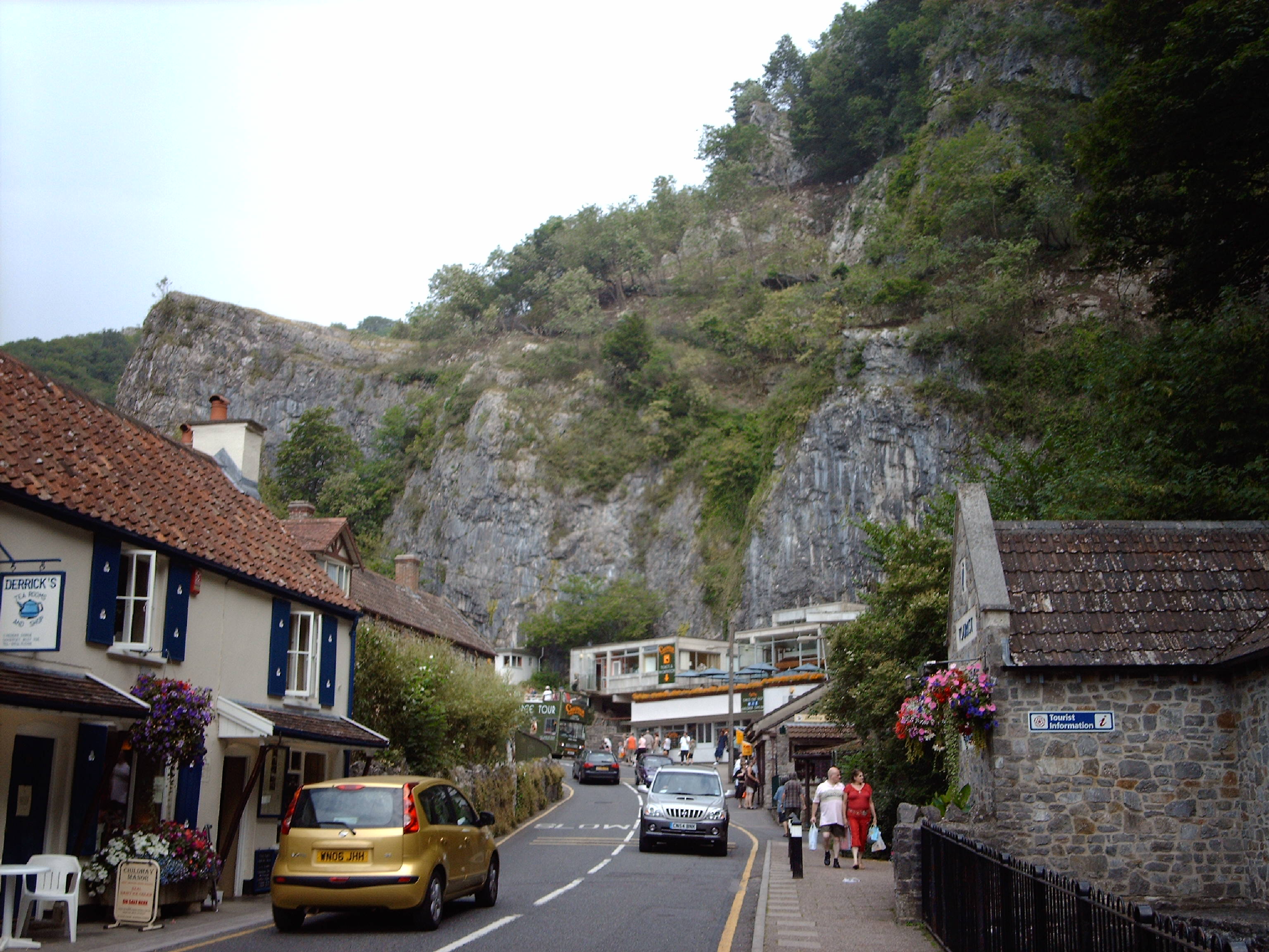
View looking east towards Cheddar Caves & Gorge |
Class31 |
Sunday 23rd of June 2013 06:40:00 PM |