
EAW023182 ENGLAND (1949). Cheddar Gorge, Cheddar, from the south-west, 1949

© Copyright OpenStreetMap contributors and licensed by the OpenStreetMap Foundation. 2025. Cartography is licensed as CC BY-SA.
Nearby Images (7)
EAW023182

EPW033352

EPW033354

EAW002960

EAW023183

EAW025158

EAW025161

Details
| Title | [EAW023182] Cheddar Gorge, Cheddar, from the south-west, 1949 |
| Reference | EAW023182 |
| Date | 6-May-1949 |
| Link | |
| Place name | CHEDDAR |
| Parish | CHEDDAR |
| District | |
| Country | ENGLAND |
| Easting / Northing | 346310, 153800 |
| Longitude / Latitude | -2.7698725263172, 51.280300359656 |
| National Grid Reference | ST463538 |
Pins
Be the first to add a comment to this image!
User Comment Contributions
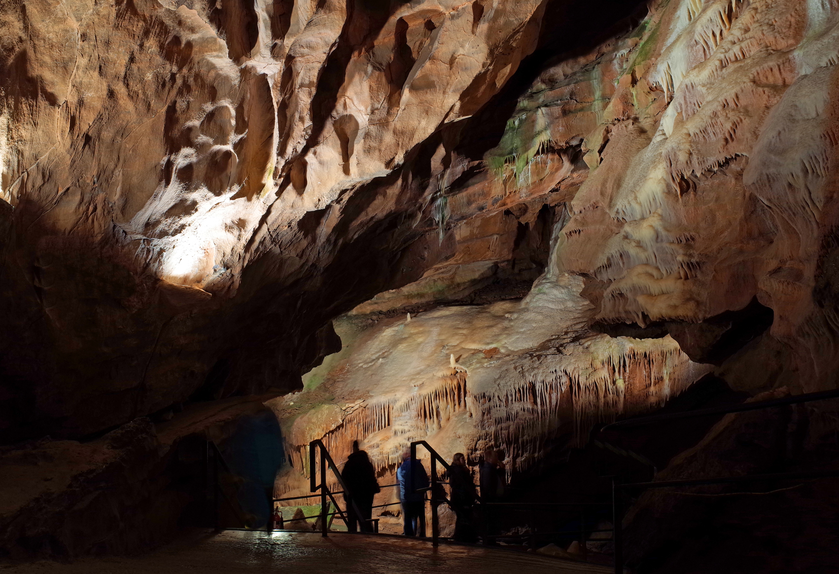
Cheddar Gorge Gough's Cave |

Alan McFaden |
Monday 29th of September 2014 09:26:02 AM |
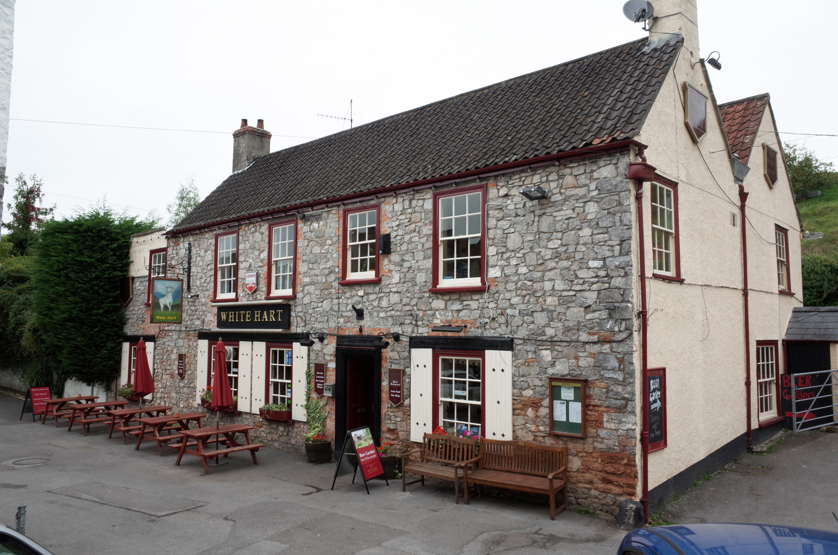
Cheddar Gorge White Hart PH |
Alan McFaden |
Monday 29th of September 2014 09:25:28 AM |
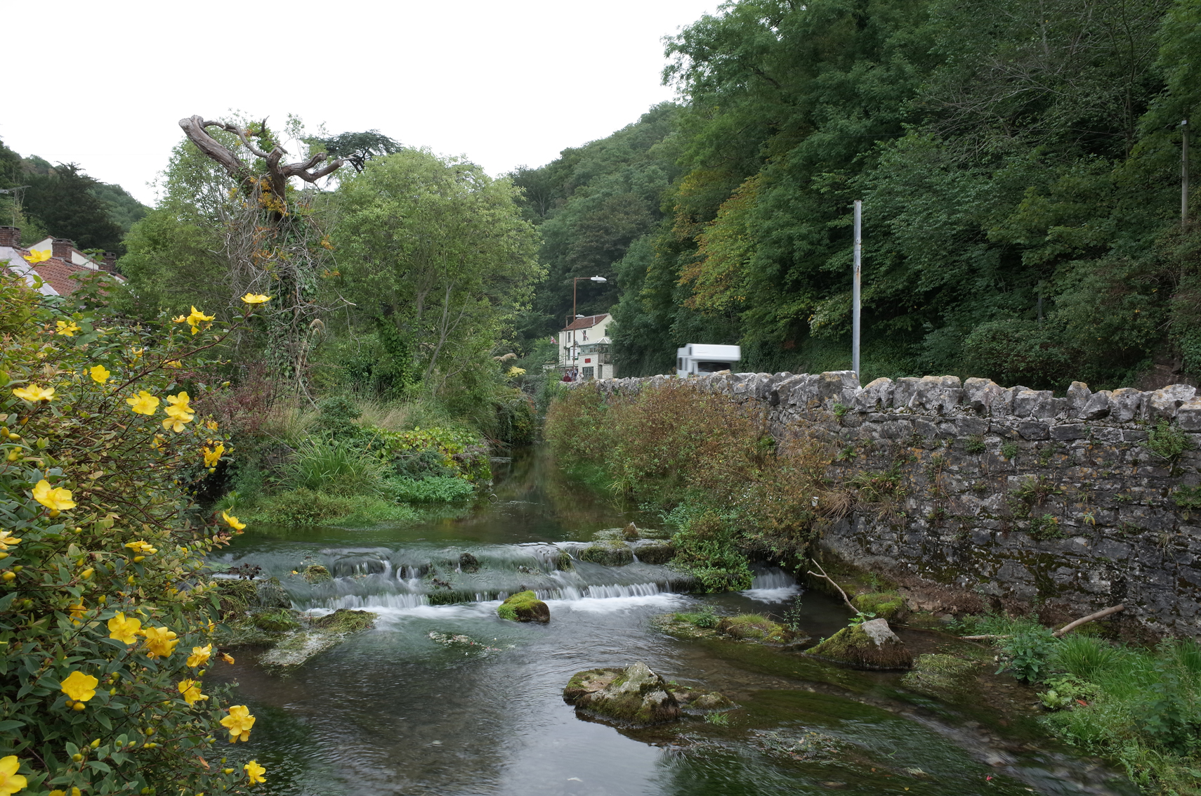
Cheddar Gorge |
Alan McFaden |
Monday 29th of September 2014 09:24:41 AM |
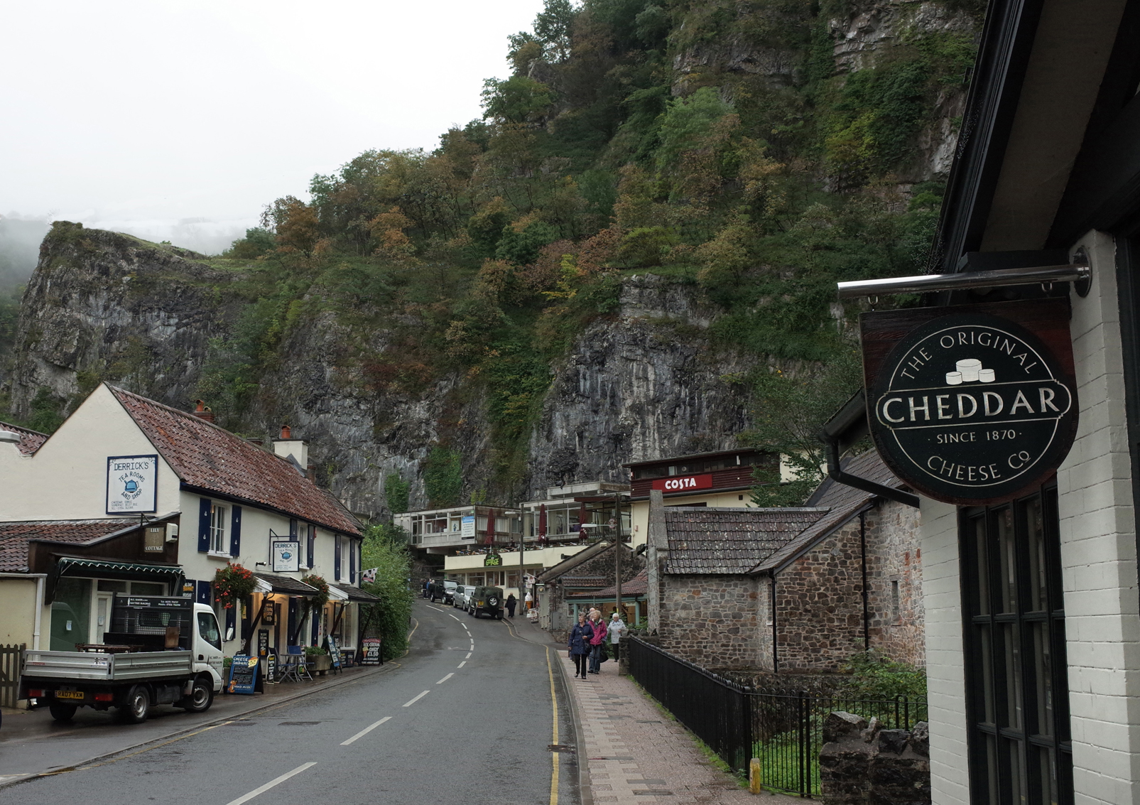
Cheddar Gorge |
Alan McFaden |
Monday 29th of September 2014 09:24:15 AM |