
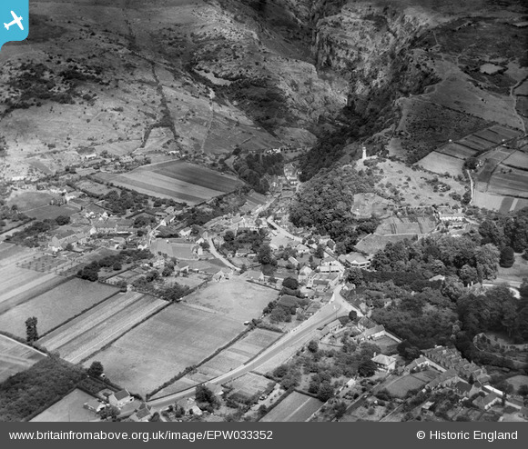
EPW033352 ENGLAND (1930). Lippiatt and the west end of the Cheddar Cliffs and Cheddar Gorge, Cheddar, 1930
© Copyright OpenStreetMap contributors and licensed by the OpenStreetMap Foundation. 2025. Cartography is licensed as CC BY-SA.
Nearby Images (7)
EPW033352

EPW033354

EAW023182

EAW002960

EAW023183

EAW025158

EAW025161

Details
| Title | [EPW033352] Lippiatt and the west end of the Cheddar Cliffs and Cheddar Gorge, Cheddar, 1930 |
| Reference | EPW033352 |
| Date | July-1930 |
| Link | |
| Place name | CHEDDAR |
| Parish | CHEDDAR |
| District | |
| Country | ENGLAND |
| Easting / Northing | 346311, 153851 |
| Longitude / Latitude | -2.7698658548298, 51.280759047559 |
| National Grid Reference | ST463539 |
Pins

Class31 |
Wednesday 4th of November 2015 08:35:53 PM | |

Alan McFaden |
Saturday 19th of October 2013 10:17:57 PM | |
|
Alan McFaden |
Saturday 19th of October 2013 10:15:43 PM | |

MB |
Friday 29th of March 2013 11:38:25 AM | |
|
MB |
Friday 29th of March 2013 11:36:31 AM | |
|
MB |
Friday 29th of March 2013 11:36:16 AM | |
|
MB |
Friday 29th of March 2013 11:35:05 AM | |
|
MB |
Friday 29th of March 2013 11:34:38 AM | |
|
MB |
Friday 29th of March 2013 11:33:51 AM | |
|
MB |
Friday 29th of March 2013 11:31:51 AM | |
|
MB |
Friday 29th of March 2013 11:30:07 AM | |
Reached from the Gorge by Jacob's Ladder |
MB |
Friday 29th of March 2013 11:31:18 AM |
|
MB |
Friday 29th of March 2013 11:27:58 AM | |
|
MB |
Friday 29th of March 2013 11:05:06 AM | |
|
MB |
Friday 29th of March 2013 11:01:13 AM | |
|
MB |
Friday 29th of March 2013 10:37:33 AM | |
|
MB |
Friday 29th of March 2013 10:30:36 AM | |
The paper mill was later used as a shirt manufactory but then became redundant. Axbridge RDC was reposonsible for organising demolition and site clearance in circa 1935. The millpond was to become an ornamental lake |
MB |
Friday 29th of March 2013 10:37:02 AM |
This was still marked as a shirt manufactory on the 1903 Ordnance Survey map |
MB |
Friday 29th of March 2013 11:42:24 AM |


