
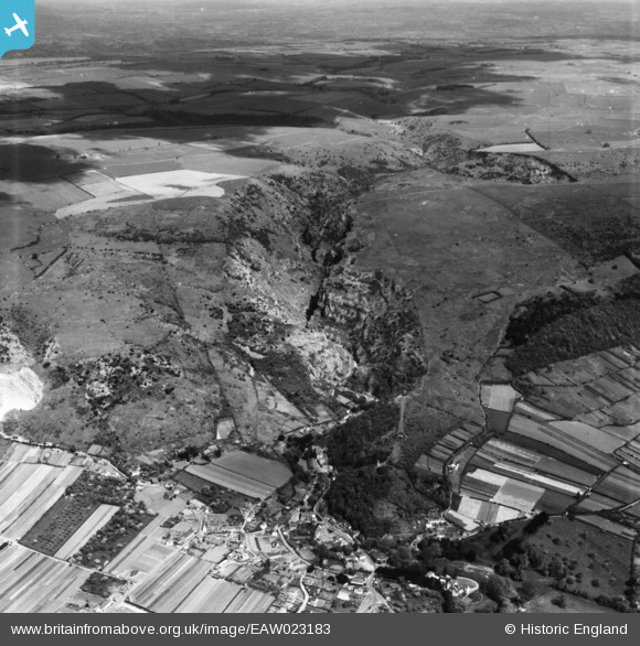
EAW023183 ENGLAND (1949). Cheddar Gorge, Cheddar, from the west, 1949. This image has been produced from a print.
© Copyright OpenStreetMap contributors and licensed by the OpenStreetMap Foundation. 2025. Cartography is licensed as CC BY-SA.
Nearby Images (6)
EAW023183

EAW025161

EPW033354

EAW002960

EPW033352

EAW023182

Details
| Title | [EAW023183] Cheddar Gorge, Cheddar, from the west, 1949. This image has been produced from a print. |
| Reference | EAW023183 |
| Date | 6-May-1949 |
| Link | |
| Place name | CHEDDAR |
| Parish | CHEDDAR |
| District | |
| Country | ENGLAND |
| Easting / Northing | 346436, 153909 |
| Longitude / Latitude | -2.7680823065075, 51.281292356169 |
| National Grid Reference | ST464539 |
Pins
Be the first to add a comment to this image!