
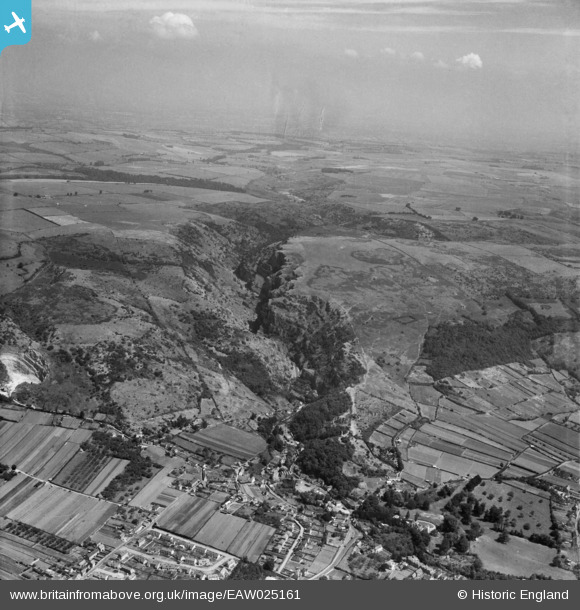
EAW025161 ENGLAND (1949). Cheddar Gorge and environs, Cheddar, from the south-west, 1949
© Copyright OpenStreetMap contributors and licensed by the OpenStreetMap Foundation. 2025. Cartography is licensed as CC BY-SA.
Nearby Images (6)
EAW025161

EAW023183

EPW033354

EAW002960

EPW033352

EAW023182

Details
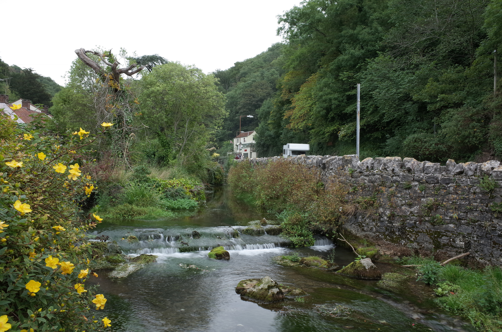
| Title | [EAW025161] Cheddar Gorge and environs, Cheddar, from the south-west, 1949 |
| Reference | EAW025161 |
| Date | 25-July-1949 |
| Link | |
| Place name | CHEDDAR |
| Parish | CHEDDAR |
| District | |
| Country | ENGLAND |
| Easting / Northing | 346435, 153967 |
| Longitude / Latitude | -2.7681053436077, 51.281813800088 |
| National Grid Reference | ST464540 |
Pins
Be the first to add a comment to this image!
User Comment Contributions
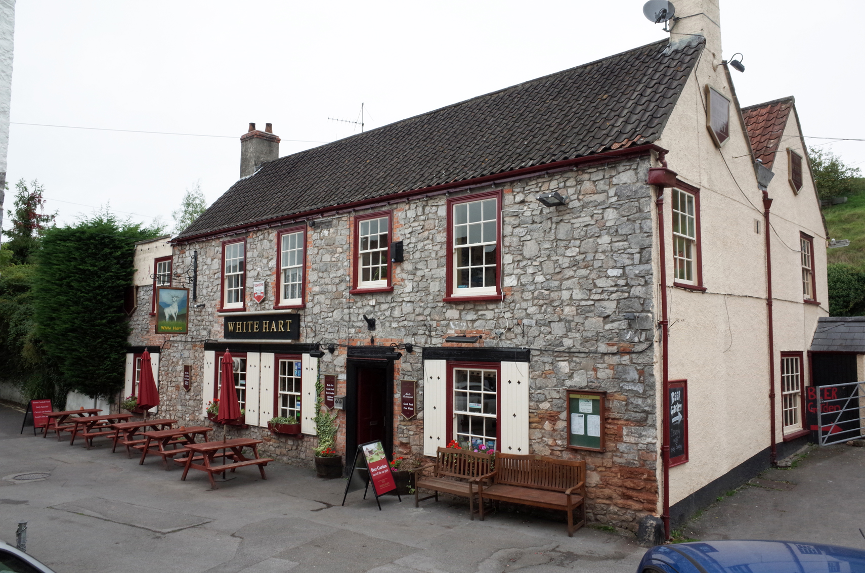
White House PH Cheddar Gorge |

Alan McFaden |
Sunday 31st of August 2014 10:11:25 AM |
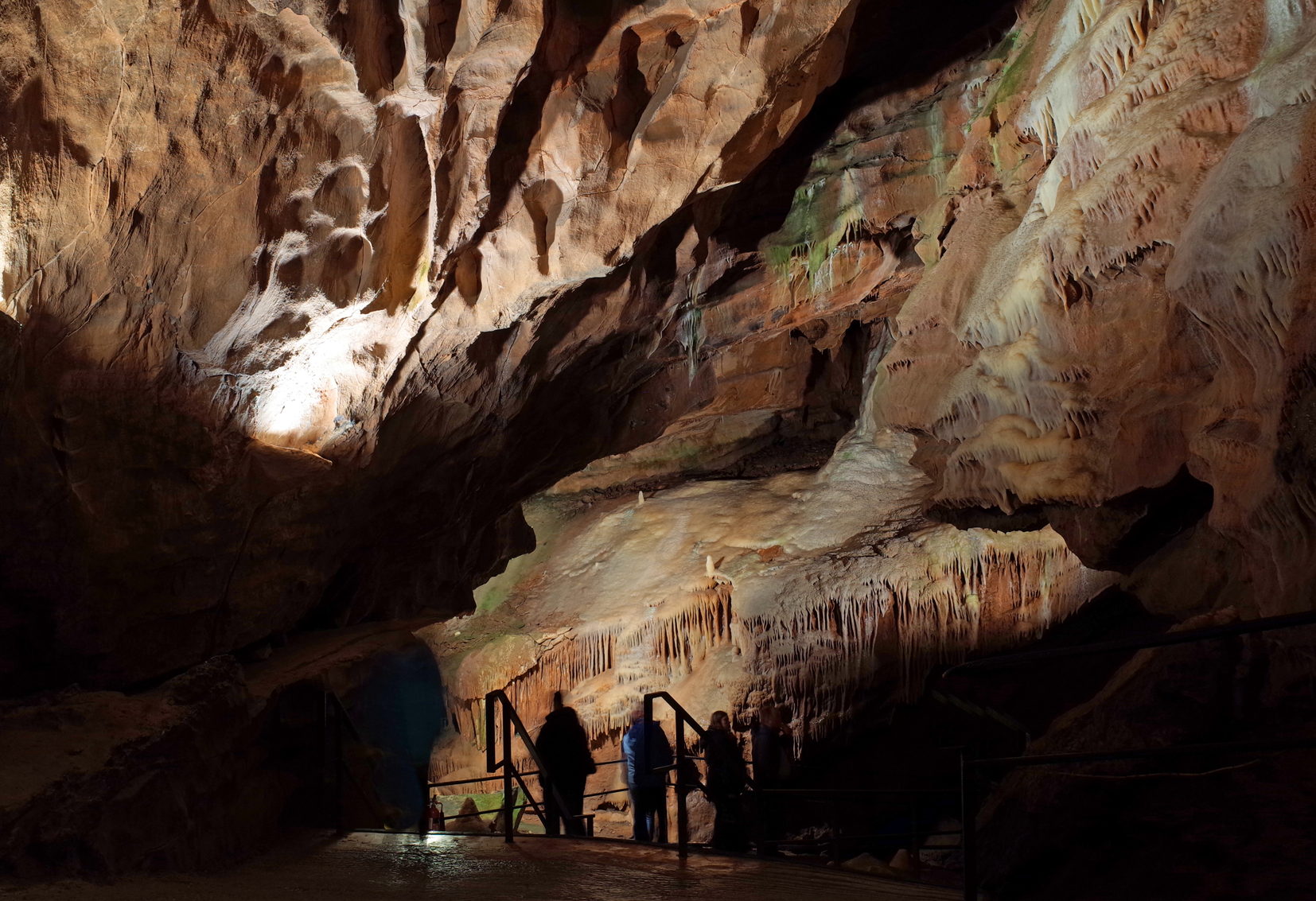
Gough's Cave Cheddar Gorge |
Alan McFaden |
Sunday 31st of August 2014 10:10:46 AM |
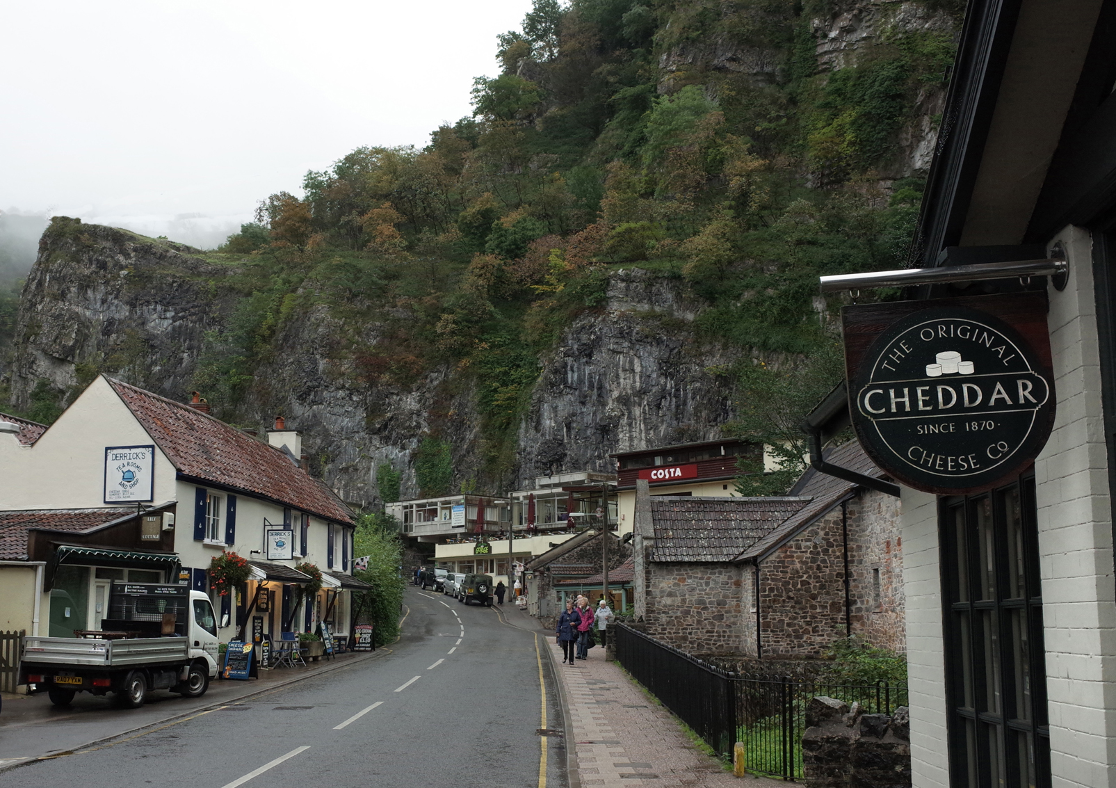
Cheddar Gorge |
Alan McFaden |
Sunday 31st of August 2014 10:10:11 AM |
Cheddar Gorge |
Alan McFaden |
Sunday 31st of August 2014 10:09:43 AM |