
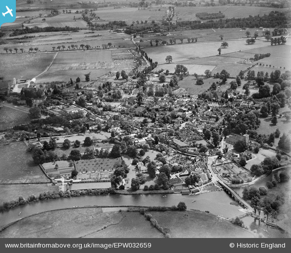
EPW032659 ENGLAND (1930). The village, Sonning, from the north-west, 1930
© Copyright OpenStreetMap contributors and licensed by the OpenStreetMap Foundation. 2026. Cartography is licensed as CC BY-SA.
Nearby Images (7)
EPW032659

EPW036208

EPW032660

EPW032643

EPW036209

EAW015542

EPW032642

Details
| Title | [EPW032659] The village, Sonning, from the north-west, 1930 |
| Reference | EPW032659 |
| Date | June-1930 |
| Link | |
| Place name | SONNING |
| Parish | SONNING |
| District | |
| Country | ENGLAND |
| Easting / Northing | 475677, 175738 |
| Longitude / Latitude | -0.9102290795829, 51.475049476964 |
| National Grid Reference | SU757757 |
Pins
Be the first to add a comment to this image!
User Comment Contributions
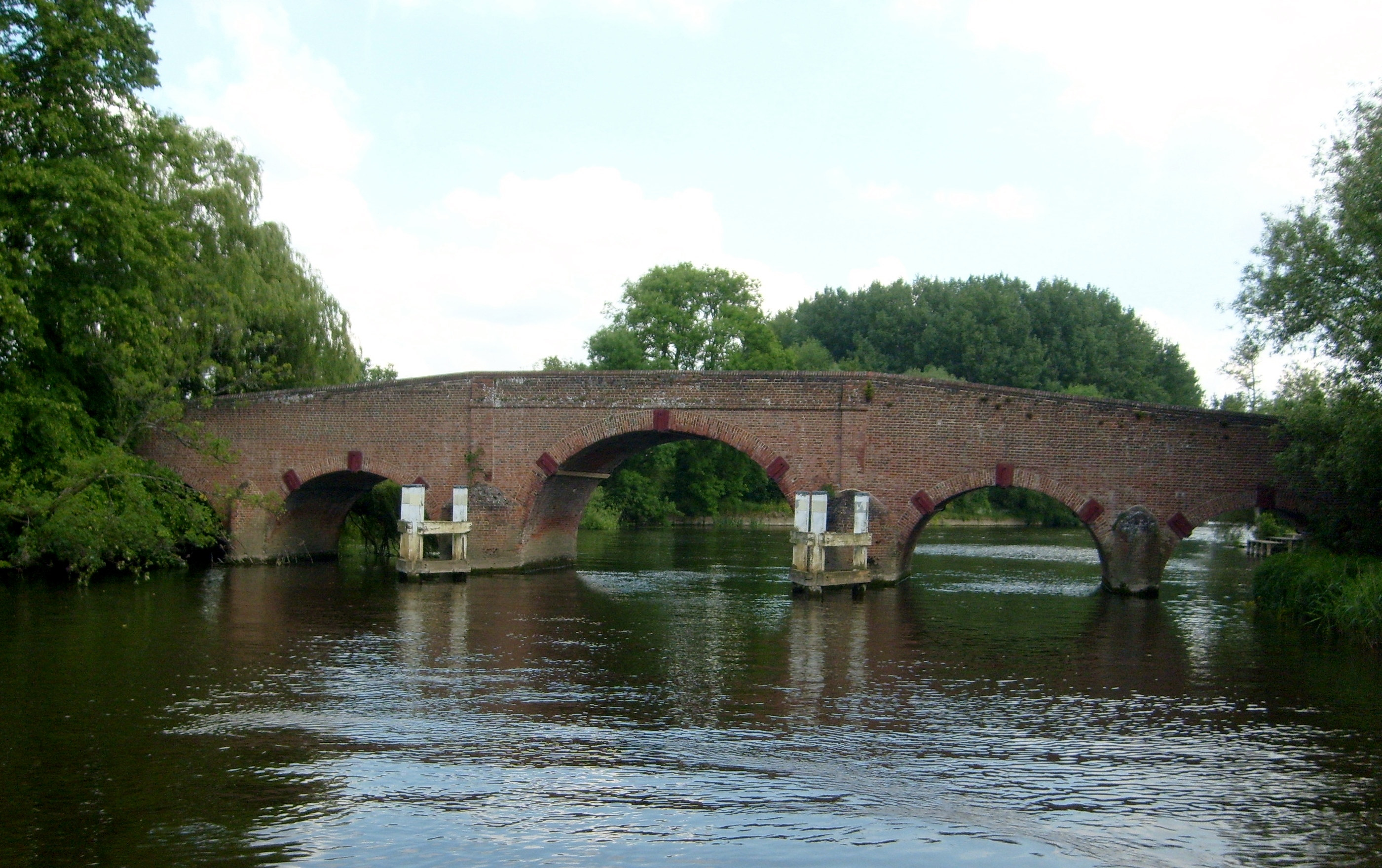
Sonning Bridge 29/05/2009 |

Class31 |
Wednesday 28th of May 2014 10:46:36 AM |